
 by
by 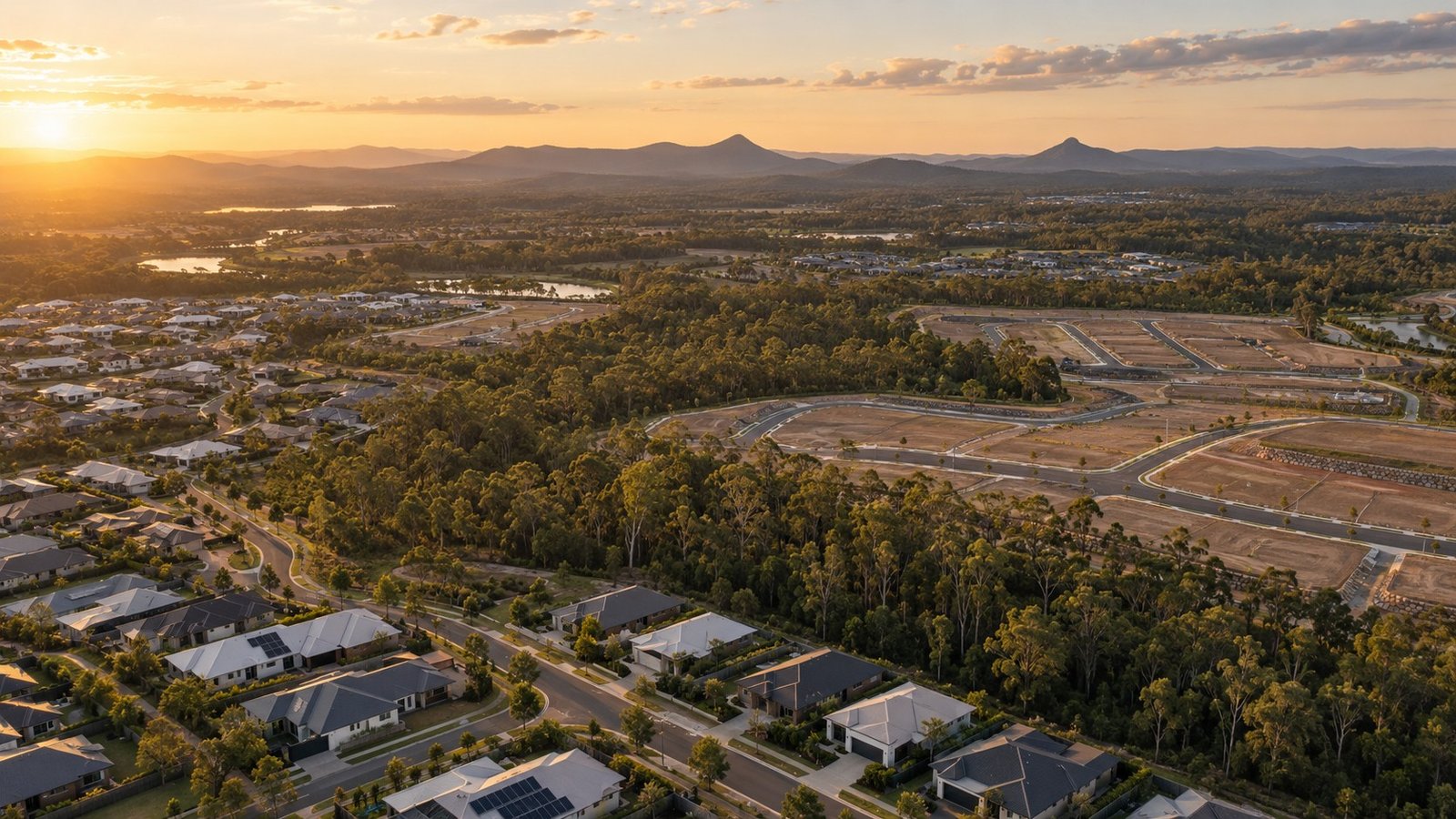
On 8 October 2010, Economic Development Queensland declared Yarrabilba a Priority Development Area (PDA). Situated within the Logan City Council local government region between Brisbane and the Gold Coast, the site represents one of South East Queensland’s significant greenfield urban growth corridors. The designated PDA boundary encompasses approximately 2,200 hectares, establishing a long-term regulatory framework designed to convert broadacre land into a fully integrated urban community.
Development across the site is predominantly managed by Lendlease under the planning framework established by Economic Development Queensland. Rather than relying on incremental expansion, the PDA designation allows infrastructure, environmental corridors, and residential precincts to be sequenced over an extended delivery timeframe. The broader master plan outlines a 30-plus year development lifecycle for the area, making tracking its growth phases essential for understanding how the community evolves.
Residential Yield and Population Trajectory
Data from the Australian Bureau of Statistics 2021 Census provides a clear baseline for the early-to-mid phases of Yarrabilba’s rollout. At the time of the 2021 Census, the suburb recorded a population of 10,250 residents occupying more than 3,500 private dwellings. These figures reflect an initial phase of occupation within a project designed for substantially higher density and total footprint over time.
The overall master plan targets a total yield of approximately 17,000 to 20,000 dwellings by the time site development reaches completion. Based on these residential targets, the ultimate projected population for Yarrabilba is estimated between 45,000 and 50,000 residents. Because the project remains active across its multi-decade timeline, physical development and population absorption continue across distinct releases rather than settling into a static established baseline.
Precinct Structure and Commercial Nodes
Residential growth within Yarrabilba is organized across several named precincts, each designated for specific housing stages and parkland integrations. Key residential precincts established within the growth plan include Neumann, The Oval, Solander, and Wickham Rise. These stages are delivered progressively, linking housing allotments to internal road systems, public open spaces, and local services.
Alongside residential development, economic activity is catered for through the Yarrabilba Mixed Industry and Business Area (MIBA). The MIBA precinct is set aside for light industrial, commercial, and employment uses, aiming to provide local work opportunities and light industrial services within the suburb boundary rather than relying entirely on external regional hubs.
Social Infrastructure and Conservation Networks
The master-planned structure incorporates essential social infrastructure intended to serve residents as population thresholds are met. Educational facilities operating or planned within the community comprise both state and non-government schools, supported by early learning and childcare centers. Retail centers situated within the development provide day-to-day shopping, dining, and essential commercial services.
Environmental management forms another core component of the site layout. The 2,200-hectare PDA incorporates designated conservation networks designed to preserve natural watercourses, native vegetation, and wildlife corridors alongside built environments. These green spaces run throughout the urban grid, separating distinct residential precincts while establishing dedicated zones for environmental protection and public recreation.
As development moves through its 30-plus year lifecycle, Yarrabilba continues to transition from its greenfield origins into a major regional center, guided by the joint framework of state government planning and Lendlease management.



Join The Discussion