
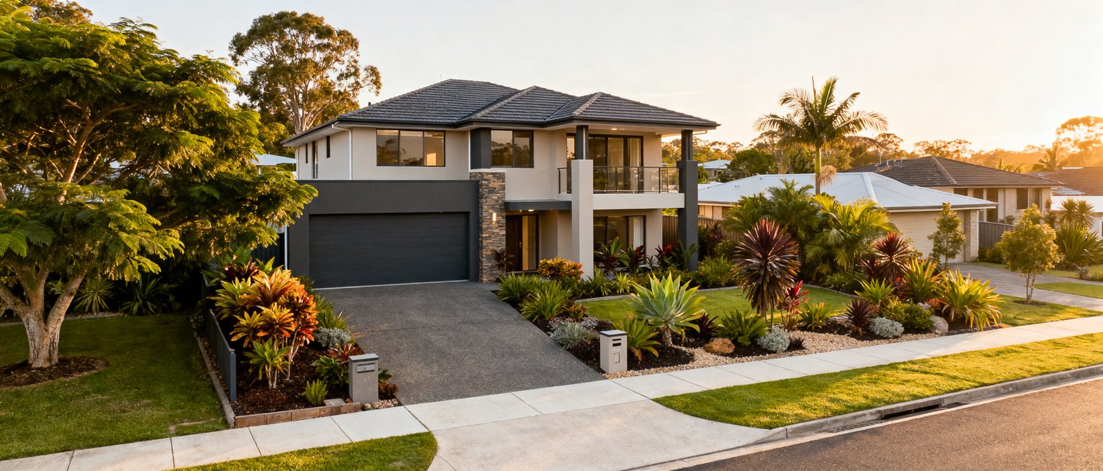
Park Ridge, located in the City of Logan, Queensland, postcode 4125, is undergoing a noticeable transformation. Historically characterised by semi-rural acreage and large residential lots, the suburb has increasingly become a central component of the broader Logan urban growth corridor. Rather than being purely rural or fully urbanised, Park Ridge currently occupies a transitional space, where traditional large-format blocks exist alongside emerging master-planned residential communities. The suburb sits approximately 28 kilometres south of the Brisbane CBD.
Planning Framework and Growth Context
Park Ridge is designated part of the Park Ridge Master Planned Area (PRMPA) under the Logan Planning Scheme, and the South East Queensland Regional Plan (ShapingSEQ) identifies South West Logan and Park Ridge as major greenfield expansion corridors. These planning policies govern how land is zoned, developed and serviced as the area transitions from semi-rural acreage into medium-to-high density residential, commercial and industrial use.
According to the 2021 Australian Bureau of Statistics Census, Park Ridge had a population of 11,288 residents and 3,695 private dwellings. The demographic profile is largely characterised by young families and commuters travelling to Brisbane, Logan Central and Ipswich.
Residential growth is delivered through major master-planned estates, including Carvers Reach (developed by Golden Group), Harvest & Chambers Ridge, and Park Ridge Heights.
Transport and Commute Options
The Mount Lindesay Highway is the suburb’s primary transport spine, connecting Park Ridge to the Logan Motorway and Gateway Motorway, and on to Brisbane, the Sunshine Coast and Ipswich. Driving times to the Brisbane CBD are typically estimated at 30 to 45 minutes under standard conditions, though this depends heavily on peak-period traffic.
For public transport, the Park Ridge Transit Centre and Park ‘n’ Ride hub on Crest Road is the main Translink facility in the area, with bus routes to Browns Plains (including Grand Plaza) and Springwood, plus express services direct to the Brisbane CBD.
There is no passenger rail station within Park Ridge itself. The closest stations are Loganlea and Kingston, on the combined Gold Coast and Beenleigh line, both roughly a 10 to 15 minute drive from central Park Ridge.
Schools and Education
Park Ridge State School provides public primary education from Prep to Year 6, and Park Ridge State High School, on Lancewood Drive, provides public secondary education for Years 7 to 12.
Independent options include Parklands Christian College on Hillcrest Road (Prep to Year 12) and St Philomena School on Park Ridge Road, an independent Catholic school offering Kindergarten to Year 12.
State school catchment boundaries and enrolment criteria are set by the Queensland Department of Education and can change. Buyers evaluating a specific address for school access should confirm current catchment status directly with the Department rather than relying on suburb-level assumptions.
Retail, Community and Industrial Areas
The Park Ridge Town Centre is the suburb’s main retail and commercial precinct, providing supermarkets, dining and everyday services. Dedicated land along Crest Road and Clarke Road is allocated for light industry, warehousing and logistics, supporting local employment alongside the residential growth.
Where Narevella Can Help
If you are weighing up Park Ridge against other growth corridors in South East Queensland, our free Compare Suburbs tool puts two areas side by side. If you would rather describe what you are looking for and let us help narrow it down, try Find Property For Me.



Join The Discussion