
 by
by 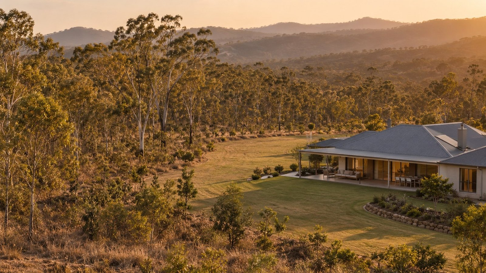
Bushfire risk is mapped and regulated in Queensland, and it can affect what a buyer is able to build even on a property that looks nothing like typical bushland. This guide covers how bushfire hazard is mapped, what to check for a specific property, and where the limits of general research end and professional advice begins.
How Bushfire Hazard Is Mapped
Queensland’s State Planning Policy introduced a state-wide mapping methodology to identify Bushfire Prone Areas, in effect since 2 December 2013. This mapping is viewable through the SPP Interactive Mapping System’s Bushfire Prone Area map, or through the SPP Development Assessment Mapping System. The mapping categorises land into different hazard levels, such as medium, high, or very high, along with buffer zones surrounding higher-risk vegetation.
Vegetation and Access Considerations
Beyond the formal mapping category, practical factors matter too. Proximity to dense bushland, the type and continuity of surrounding vegetation, and whether a property has a single access road in and out can all affect real-world bushfire exposure, even for two properties that sit in the same mapped category.
Check the Specific Property, Not Just the Suburb
Bushfire hazard mapping applies at the property level, and hazard categories can change from one side of a road to another depending on vegetation and terrain. Checking the specific address against the mapping is more reliable than assuming a suburb’s general reputation applies evenly across it.
Building and Planning Implications
Building or renovating in a mapped bushfire prone area can trigger additional planning assessment and construction requirements beyond what would apply on an unaffected block. The exact requirements depend on the hazard level and the specific proposal, and are a matter for the relevant council and a qualified bushfire consultant to assess, rather than something a buyer should try to determine informally.
Insurance Considerations
Bushfire risk is relevant to home insurance, and it is worth discussing a property’s mapped bushfire status with your insurer as part of choosing cover. See our guide to home and contents insurance in Queensland for general policy structures and terms.
Where Professional Advice Is Needed
If you are planning to build, extend, or renovate on a property in a mapped bushfire prone area, a qualified bushfire consultant can advise on the specific assessment and construction requirements that apply. This article provides general research information only and does not assess any individual property or proposal.
Where This Fits Into Your Research
Bushfire is one of several overlays that can apply to a property alongside its base zoning. See our guide to zoning and property overlays in Queensland and our broader guide on what to check before making an offer.
Where Narevella Can Help
Our free Queensland Property Research Checklist covers bushfire and other risk checks alongside the wider research process. For a specific address, our Property Review can help.
Disclaimer
This guide provides general research information only and is not planning, engineering, or insurance advice. Bushfire hazard assessment for a specific property or building proposal should be confirmed with the relevant local council and a qualified bushfire consultant.


Join The Discussion