
 by
by 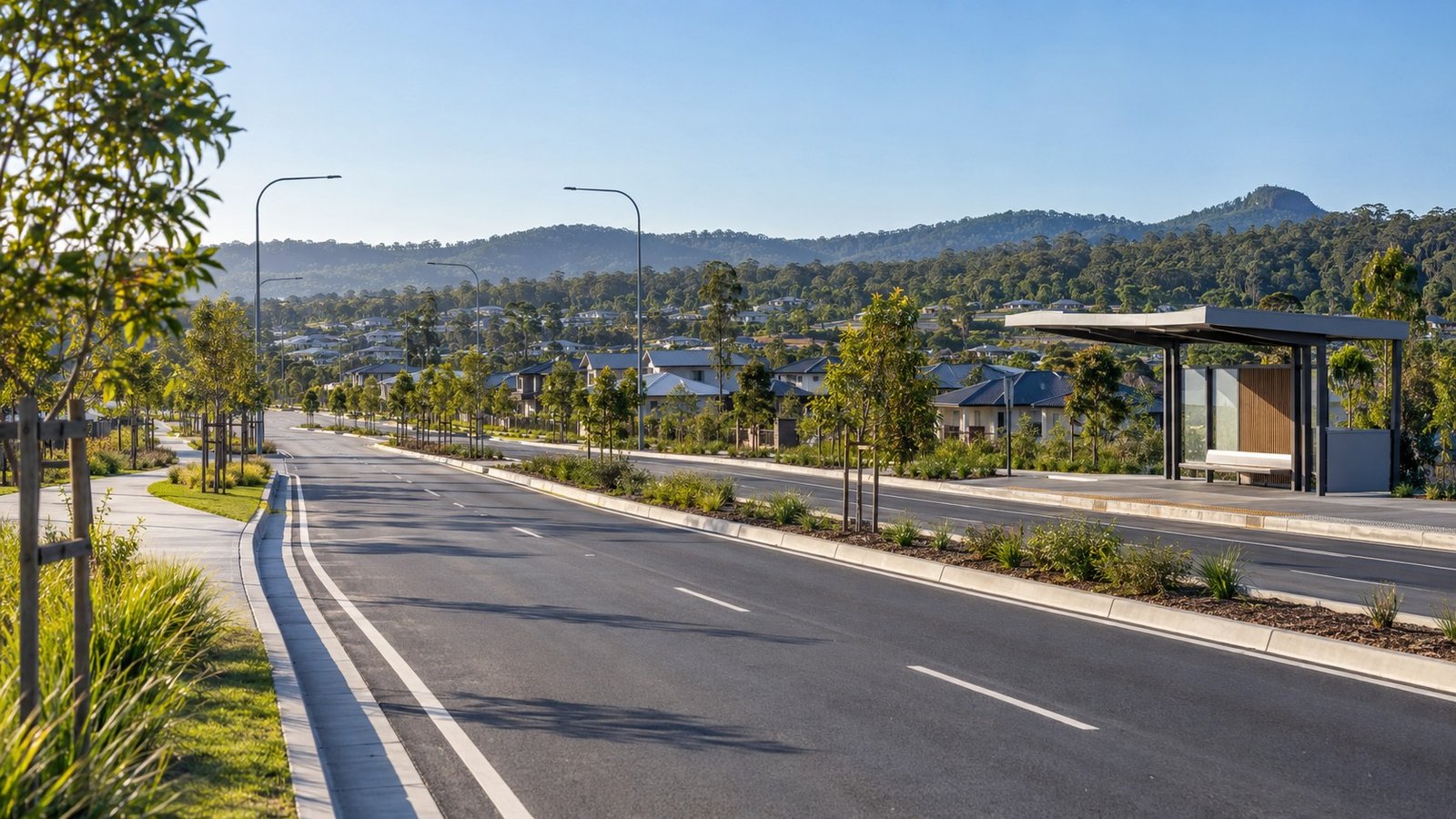
Navigating travel options from Yarrabilba involves understanding a transit layout based on local bus connections, primary arterial road links, and long-term regional transport planning. Because there is no passenger train station located inside Yarrabilba, public transport journeys relying on rail require connecting through adjacent suburban stations.
Public Transit and Rail Connections
For residents using public transportation, local travel depends on bus links to reach the Queensland Rail network. Route 587 provides a direct link between Yarrabilba and Loganlea railway station, as well as Logan Central. This bus connection serves as a critical link for commuters heading toward Brisbane or other major destinations along the rail line.
Commuters connect to the Queensland Rail network primarily via Loganlea or Beenleigh stations. Once at Loganlea station, express train services reach the Brisbane CBD in approximately 30 to 35 minutes. For residents who travel regularly into central Brisbane without driving the entire distance, taking the Route 587 bus to Loganlea station to catch an express train offers a structured public transport alternative.
Road Access and Vehicular Routes
For drivers and commercial traffic, primary vehicular access to Yarrabilba is via Waterford-Tamborine Road. This corridor serves as the main entry and exit route for the suburb, connecting vehicle traffic to surrounding regional roads and motorways.
To address current traffic volumes and future regional growth, the Department of Transport and Main Roads (TMR) is actively working on local road improvements. TMR is currently conducting planning and upgrades on Waterford-Tamborine Road between the Logan River and Yarrabilba Drive. These works are designed to upgrade and optimize the central road corridor servicing the community.
Travel times by car vary depending on traffic density and time of day. Estimated drive times to Brisbane range from 50 to 60 minutes or more during peak periods, while travel to the Gold Coast is estimated at 55 to 65 minutes. Because these travel times are estimates dependent on peak hour congestion, specific daily commute durations cannot be guaranteed.
Long-Term Regional Rail Planning
While local train connections currently require travel to nearby stations, regional transport authorities have evaluated potential long-term rail infrastructure for the surrounding region. The Salisbury to Beaudesert Passenger Rail Study is investigating long-term regional rail options that pass near the Yarrabilba area.
This initiative is currently focused on long-term planning and corridor preservation. It is important to clarify that the Salisbury to Beaudesert rail line is not funded or currently under construction. Furthermore, the exact timing for future regional rail infrastructure is not defined, as the study remains in an early planning and preservation phase.
Transport Overview for Property Research
Evaluating transport in Yarrabilba requires distinguishing between existing transit options and future planning initiatives. Today, public transit relies on the Route 587 bus link connecting residents to Loganlea railway station and Logan Central, with express trains from Loganlea reaching the Brisbane CBD in 30 to 35 minutes. Driver access centers on Waterford-Tamborine Road, where TMR is conducting planning and upgrades between Logan River and Yarrabilba Drive to support local traffic flow. Long-term regional transport options continue to be evaluated under the Salisbury to Beaudesert Passenger Rail Study, providing a framework for future corridor preservation in the surrounding region.



Join The Discussion