
 by
by 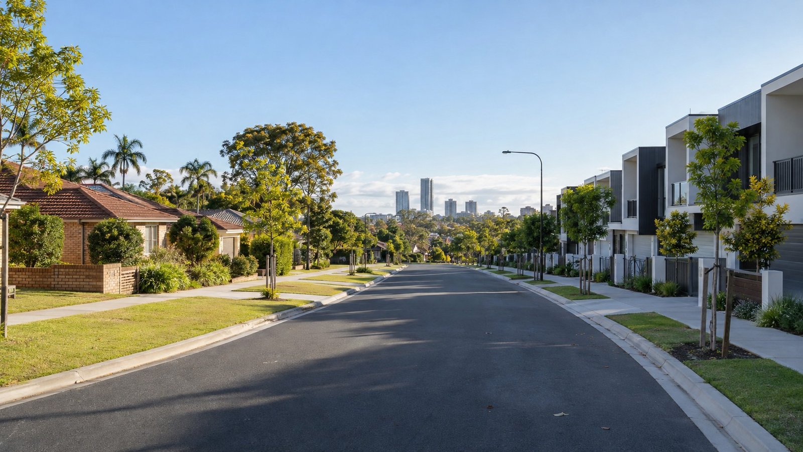
Beenleigh occupies a distinct strategic position in South East Queensland, situated approximately 34 kilometres south of the Brisbane central business district and 40 kilometres north of the Gold Coast. Under the ShapingSEQ regional plan, the locality holds a formal designation as a Principal/Major Regional Activity Centre. This statutory status reflects its long-standing role as a primary focal point for employment, civic administration, retail, and community services across the southern Logan corridor. Positioning the suburb midway between two major metropolitan markets allows Beenleigh to serve as a vital regional hub for both established residents and surrounding growth areas.
Growth within the boundaries of Beenleigh proper is primarily defined by infill urban renewal and precinct densification rather than large-scale greenfield expansion. Logan City Council manages this structural evolution through the Beenleigh Town Centre Master Plan. This master planning framework concentrates on public realm upgrades, the enhancement of the Beenleigh Town Square, and the implementation of planning mechanisms that incentivise higher-density residential development. By directing investment into public spaces and central infrastructure, council aims to create an active commercial core capable of supporting an increased residential population.
A central driver of urban infill within the suburb is the integration of land use planning with high-capacity public transport networks. The Logan Planning Scheme explicitly supports transit-oriented residential development within walking distance of key transit facilities. In areas adjacent to the Beenleigh railway station, planning provisions facilitate higher-density housing typologies, including apartments and townhouses. Beenleigh railway station plays a crucial strategic role in South East Queensland’s public transport network, operating as an express terminus for both the Beenleigh train line and the Gold Coast train line. This direct, high-frequency rail access, paired with proximity to major road corridors such as the M1, underpins the push for transit-oriented development in the central precinct.
While Beenleigh’s town centre expands vertically through urban renewal, major horizontal land development is focused in the broader catchment surrounding the suburb. Situated directly southwest of Beenleigh, the Bahrs Scrub Growth Corridor represents the primary driver of greenfield residential land supply for the immediate district. Bahrs Scrub is subject to formal structure planning designed to guide the orderly delivery of thousands of new residential lots. This greenfield development model provides traditional land releases and detached housing options, contrasting with the apartment and townhouse development promoted within Beenleigh’s urban core.
The relationship between Beenleigh and adjacent growth corridors creates a clear dichotomy in local property dynamics. Greenfield expansion in locations like Bahrs Scrub supplies new land releases for expanding populations, while relying heavily on Beenleigh’s established central infrastructure, retail options, and express rail services. Simultaneously, the influx of residents into nearby greenfield estates reinforces the economic viability of urban renewal projects and commercial activity within the town centre. Through the combined application of the ShapingSEQ regional plan, the Logan Planning Scheme, and the Beenleigh Town Centre Master Plan, the district continues to evolve through a dual pattern of central transit-oriented infill and surrounding master-planned residential growth.



Join The Discussion