
 by
by 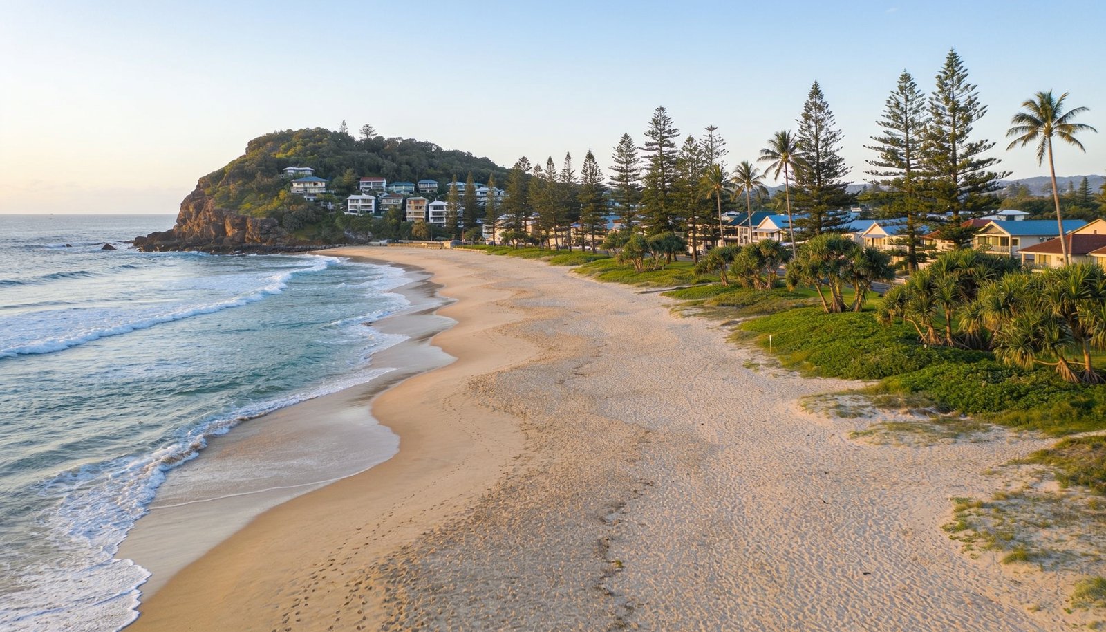
Burleigh Heads is an ocean-facing suburb centred on the Burleigh Headland, between Tallebudgera Creek to the south and the Burleigh and Miami beachfront to the north. It’s a compact, low-to-mid-rise beachside village built around the James Street, Connor Street and Justin Lane precinct, with a mix of older housing and newer apartments.
Population and Housing
The 2021 Census recorded 10,572 people in Burleigh Heads, with a median age of 42 and an average household size of 2.2. Flats and apartments are the largest housing type at 46.7%, ahead of separate houses at 39%, so body corporate research is relevant to most of the suburb’s dwelling stock, not just a subset of it.
Transport
Burleigh Heads gained its own Gold Coast Light Rail (G:link) station in 2026, as the new southern terminus of an extension of the tram network south from Broadbeach, a genuinely significant transport upgrade for a suburb that was previously quite car-dependent. The suburb is also served by a Translink bus route along the Gold Coast Highway and by the M1 via the nearby, recently upgraded Burleigh interchange.
Schools
Burleigh Heads State School covers public primary schooling, while Miami State High School is the nearest public secondary option. Families should confirm current catchment status via the Queensland Government’s official EdMap tool (qgso.qld.gov.au/maps/edmap) rather than assuming guaranteed enrolment. Marymount College, in nearby Burleigh Waters, is a well-known Catholic school in the area.
Health
There is no hospital within Burleigh Heads itself. Gold Coast University Hospital, in the Robina/Southport area, is the nearest major public hospital.
Parks and Local Life
Burleigh Head National Park is a genuine standout, with coastal walking trails around the headland, a lookout point known for whale-watching in season, and rainforest walking tracks. The Justins Park and foreshore precinct along the beach has been the subject of a proposed council upgrade concept plan, though this should be treated as a concept only, not a confirmed, funded or dated project. David Fleay Wildlife Park, adjoining West Burleigh, is another notable nearby attraction featuring native Australian wildlife.
Shopping and Everyday Life
Stockland Burleigh Heads Shopping Centre, near the Burleigh Waters boundary, is the suburb’s major shopping centre, while the James Street and Justin Lane village precinct is Burleigh’s own dining and lifestyle strip.
Planning and Development
Council has undertaken place-making master planning for the local commercial precinct, aimed at improving streetscapes and better connecting the village to the new light rail, alongside broader growth-planning work along the Broadbeach-to-Burleigh-Heads corridor in anticipation of the light rail extension. These are established council initiatives, though buyers shouldn’t assume every figure or date attached to them elsewhere is locked in.
Flood and Property Due Diligence
As an open-coast suburb, coastal erosion and storm-tide overlays are directly relevant for beachfront and foreshore-adjacent addresses. Check the City of Gold Coast’s official flood-mapping tools for the specific address before relying on any Burleigh Heads property.
Nearby Suburbs Worth Comparing
Miami, Burleigh Waters, Palm Beach and Currumbin are worth comparing if you are considering Burleigh Heads.
Useful Narevella Reading
If you’re researching a specific Burleigh Heads property, Narevella’s guides on flood risk checks and verifying a school catchment cover the due diligence that matters most in a beachside suburb like this one.
Once you have a shortlist, Compare Suburbs can help you weigh Burleigh Heads against nearby areas side by side, or Find Property For Me if you would like Narevella’s help identifying suitable properties.
This guide is general research information only, not financial or legal advice, and not a recommendation about any specific school, provider, service or investment outcome.


Join The Discussion