
 by
by 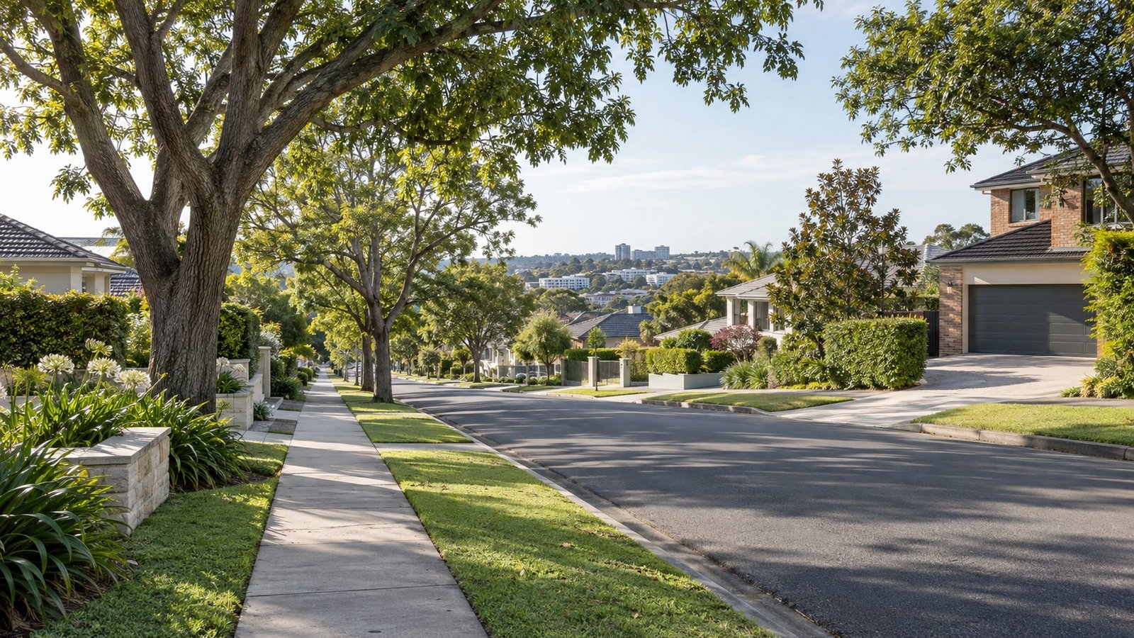
Carindale is an established, leafy suburb in Brisbane’s eastern suburbs, sitting around 13 kilometres south-east of the CBD within the Brisbane City Council area and the Chandler ward. Bulimba Creek runs through the suburb and the Gateway Motorway forms part of its eastern boundary, giving Carindale a genuinely well-connected position without the traffic and density of the inner city. Built out substantially through the 1980s and 1990s, Carindale is best known for its regional shopping centre and low-density residential streets, but a major planning proposal now underway could reshape parts of the suburb’s centre in the years ahead. This guide brings together what buyers researching Carindale should know before making a decision, and where to check the details that matter for a specific address.
Population and Housing
At the 2021 Census, Carindale had a population of 16,535 people, with a median age of 43 and an average household size of 2.8, figures consistent with an established, family-oriented suburb rather than a newer growth corridor. Housing across most of Carindale is predominantly low-density residential, made up of detached houses on suburban blocks. Higher-density development in Carindale has historically been concentrated around the suburb’s own centre precincts, and this is exactly the area now under review as part of a proposed City Plan amendment (see Planning and Development below), so buyers considering an apartment or townhouse near the centre should pay particular attention to that proposal.
Transport
Carindale does not have a train station. The suburb is served instead by Carindale bus station, located within Westfield Carindale, which feeds into the Eastern Busway network connecting toward the CBD. Dedicated bus-priority lanes already run along Old Cleveland Road, giving Carindale a reasonably strong public transport option for a suburb without rail access. For anyone weighing up a daily commute, it’s worth timing the actual bus journey at the hours you’d use it, rather than relying on distance alone.
Schools
Carina State School, a public primary school, is physically located in Carindale despite its name, and Mansfield State High School serves as the secondary catchment option for part of the suburb, a catchment shared with several neighbouring suburbs including Wishart and Upper Mount Gravatt, which makes it a genuinely high-demand school. Citipointe Christian College, a well-known independent school, is also based in Carindale. Because catchment boundaries can be precise down to the street and can change over time, always verify the specific address using the official Queensland Government EdMap tool (qgso.qld.gov.au/maps/edmap) before assuming a property falls within a particular catchment, and keep in mind that being within a catchment never guarantees a place at that school.
Health
There is no hospital located within Carindale itself. The nearest major public hospitals are QEII Jubilee Hospital in Coopers Plains and Princess Alexandra Hospital in Woolloongabba, both a reasonable drive from most parts of the suburb.
Shopping and Everyday Life
Westfield Carindale is the suburb’s dominant retail anchor and one of Brisbane’s larger regional shopping centres, with department stores, a cinema and a large number of specialty stores. No confirmed new expansion has recently been announced for the centre. Beyond the centre itself, day-to-day life in Carindale revolves around this hub rather than a traditional strip of shops, which suits residents who prefer one well-serviced destination over multiple smaller precincts.
Parks and Local Life
Minnippi Parklands is the standout green space associated with Carindale, a substantial parkland with lagoons, walking trails and a playground that spans Carindale and several neighbouring suburbs. Whites Hill Reserve is also nearby. Together with Bulimba Creek’s corridor through the suburb, these give Carindale a genuinely leafy, outdoor-friendly character for an established suburb this close to the CBD.
Planning and Development
This is the single most important thing to understand about Carindale right now if you’re considering a property near its centre. In March 2026, Brisbane City Council proposed a tailored City Plan amendment package covering Carindale together with Indooroopilly and Nundah as major centres, part of the city’s broader housing supply and growth strategy, with community consultation running through April and May 2026. The proposed changes for Carindale include increasing maximum building heights in the centre core and centre fringe areas from around 8 to 10 storeys up to as much as 30 storeys, while reducing height in the centre’s residential edge from around 3 storeys, alongside new height-transition and setback controls near the Bulimba Creek corridor and surrounding streets, and a requirement for non-residential uses at ground floor. As of the most recent information available, Council was still reviewing submissions from that consultation, with formal approval and adoption anticipated later in 2026. This has not yet been formally adopted at the time of writing, so treat it as a proposal under review rather than settled fact, and check the current status directly with Brisbane City Council before relying on it for any specific property decision. For anyone looking at property in or near Carindale’s town centre, this is a genuinely significant factor to follow.
Flood and Property Due Diligence
Bulimba Creek runs through Carindale, which is a good reason to check flood status carefully for any property near the creek corridor specifically, rather than assuming anything about the suburb as a whole. Use Brisbane City Council’s official Flood Awareness Map and order a FloodWise Property Report for the specific address you’re considering, since flood risk in Brisbane is assessed property by property, not suburb by suburb.
Nearby Suburbs Worth Comparing
Wishart shares the Mansfield State High School catchment with part of Carindale and is worth comparing directly for that reason. Upper Mount Gravatt and Coopers Plains are also commonly compared alongside Carindale by buyers weighing up Brisbane’s eastern and southern suburbs, while Mount Gravatt East and Mansfield sit immediately adjacent for anyone wanting to stay close without a lengthy commute change.
Useful Narevella Reading
For a side-by-side look at Carindale against other Brisbane suburbs, try Narevella’s Compare Suburbs tool. If you’re weighing up Carindale against nearby options with the same school catchment, our Wishart Suburb Guide and Upper Mount Gravatt Suburb Guide cover two of the most relevant comparisons. And before making any property decision, our Queensland Property Research Checklist is a useful general starting point.
This guide is general research information only, based on publicly available sources at the time of writing, and is not financial or legal advice. Always verify current planning, school catchment and flood information directly with Brisbane City Council, the Queensland Government and other official sources before making a property decision.



Join The Discussion