
 by
by 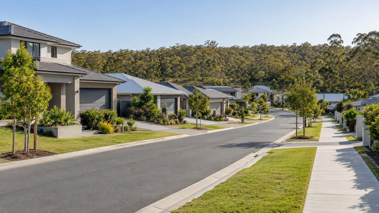
Parkinson is an outer-southern Brisbane suburb in postcode 4115, about 23 kilometres from the CBD within the Brisbane City Council area and the Calamvale ward. Largely bushland until the mid-1990s, Parkinson was developed through the 1990s and 2000s as a newer housing estate, with an industrial estate added in the suburb’s south-east from 2009. The Logan Motorway bisects Parkinson and the Mount Lindesay Highway runs along its eastern boundary, and the suburb borders Logan City to the south. This guide is written honestly as a functional, family-housing growth-corridor suburb rather than a prestige or heavily amenitised one, and covers what buyers should know before choosing Parkinson, along with where to check the specifics for an individual address.
Population and Housing
At the 2021 Census, Parkinson’s population was 11,148, up from 10,878 in 2016. Given the suburb’s ongoing growth, this figure should be treated as likely understating the current population rather than as a precise current count. Housing in Parkinson is overwhelmingly separate houses, making up around 86% of dwellings, with a meaningful townhouse share of around 14% and almost no apartment stock, a classic profile for an outer growth-estate suburb built predominantly for families.
Transport
The Logan Motorway bisects Parkinson and the Mount Lindesay Highway runs along its eastern boundary, together connecting the suburb toward Browns Plains and Jimboomba to the south and inner-south Brisbane to the north. There is no passenger rail station or busway within Parkinson itself. Because bus routes and the nearest rail connection can change and vary by exact street, check current bus routes and the nearest train station directly with Translink rather than assuming a specific option applies to your address.
Schools
There is no government primary or secondary school located within Parkinson itself. Nearby options that may or may not cover a specific address in their catchment include Algester State School, Calamvale Community College (a P-12 school reported to face genuine enrolment-capacity pressure in parts of its catchment) and Browns Plains State School and State High School. Because catchments in this corridor are genuinely capacity-constrained, never assume a school from the suburb name alone, always verify the specific address using the official Queensland Government EdMap tool (qgso.qld.gov.au/maps/edmap), and remember that being in a catchment never guarantees a place at that school.
Health
Parkinson falls within the Metro South Hospital and Health Service catchment, and Logan Hospital is the major public hospital most commonly associated with this corridor. Even so, confirm your specific catchment facility directly with Metro South Health rather than assuming, since catchment boundaries for health services don’t always follow the same lines as school catchments or suburb names.
Shopping and Everyday Life
No major shopping centre is located within Parkinson itself. The Parkinson Aquatic Centre, a Brisbane City Council facility with an outdoor 50-metre pool, a heated indoor pool and a gym, is a genuine local amenity and one of the more notable facilities in the suburb. For broader shopping needs, residents typically travel to centres in neighbouring suburbs.
Parks and Local Life
Greenways Esplanade Park, a local park with a BMX and riding track, serves the immediate area. The standout lifestyle asset for Parkinson, though, is Karawatha Forest Park nearby, a roughly 900-hectare Brisbane City Council bushland reserve and one of the largest remaining stretches of open eucalypt bushland in South East Queensland. More than 200 wildlife species have been recorded there, and the reserve has over 40 kilometres of walking tracks, making it a genuine drawcard for anyone who values bushland access close to home.
Planning and Development
No dedicated neighbourhood plan specific to Parkinson was identified. The suburb appears to sit under Brisbane City Plan 2014’s general base-zone framework rather than a bespoke precinct plan. Rather than guess at what this means for a specific block, use Brisbane City Council’s own City Plan online mapping tool to check the current zoning for any address you’re considering.
Flood and Property Due Diligence
Parkinson’s proximity to Karawatha Forest’s natural drainage lines is a reason to take flood and overland flow checks seriously for specific properties in the area, though this should not be read as a suburb-wide verdict. Use Brisbane City Council’s official Flood Awareness Map and order a FloodWise Property Report for the exact address you’re considering before making any decision.
Nearby Suburbs Worth Comparing
Calamvale, in the same ward as Parkinson, is a natural comparison and already has a full Narevella suburb guide. Algester, Drewvale and Karawatha are also worth considering alongside Parkinson for buyers comparing this part of Brisbane’s southern growth corridor.
Useful Narevella Reading
Our Calamvale Suburb Guide is a useful direct comparison given the shared ward and similar growth-corridor character. Narevella’s Compare Suburbs tool can help you weigh Parkinson against other options side by side, and our Queensland Property Research Checklist and How to Read a Brisbane FloodWise Property Report are both worth reading before you go further with any specific address.
For wider context on the Brisbane City Council area, including nearby suburbs and how they compare, see our Brisbane Area Guide.
This guide is general research information only, based on publicly available sources at the time of writing, and is not financial or legal advice. Always verify current school catchment, transport, zoning and flood information directly with the relevant Queensland Government and Brisbane City Council sources before making a property decision.



Join The Discussion