
 by
by 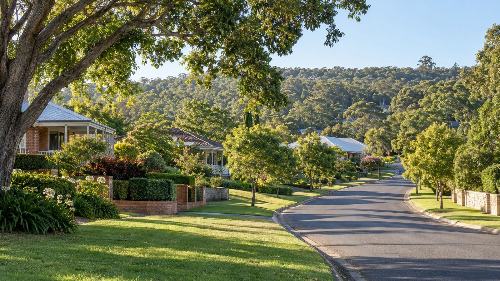
Kenmore is an established, leafy suburb in Brisbane’s west, sitting along Moggill Creek within the Brisbane City Council area. The suburb is known for its detached family housing on larger-than-typical blocks, and for a high-demand local high school that makes catchment research especially important here. This guide sets out what’s confirmed about Kenmore’s population, transport, schools and planning, and directs you to the right official source to verify anything specific to an individual address.
Population and Housing
At the 2021 Census, Kenmore had a population of 9,438. Housing is predominantly separate houses on larger blocks, consistent with the suburb’s established family-housing character, though an exact, confirmed dwelling-type percentage wasn’t available for this guide, so this is presented qualitatively rather than as a precise figure.
Transport
Kenmore is not on a rail line and no train station serves the suburb directly. Bus routes 430, 431, 433 and 436 connect Kenmore to the city via Coronation Drive, Milton and the Western Freeway corridor, meaning car and bus are the two realistic commuting options for most Kenmore residents.
Schools
Kenmore State High School, a large public secondary school with around 1,973 students sited on Moggill Creek and covering Years 7 to 12, is the well-known local secondary option. Because demand for this school is genuinely high, catchment verification is especially important for anyone considering a property here, rather than an optional extra step. Our Lady of the Rosary School, a Catholic primary school established in 1963 with around 467 students, is a well-known local Catholic option. No specific public primary school for Kenmore was independently confirmed for this guide, so that detail is presented cautiously rather than naming one with confidence. Always verify your specific address using the official Queensland Government EdMap tool (qgso.qld.gov.au/maps/edmap), and remember that being within a catchment never guarantees a place at that school, particularly for a high-demand school like Kenmore State High School.
Health
No hospital is located within Kenmore itself. Given the suburb’s western, outer-inner position, check the nearest public hospital and your specific catchment facility directly rather than assuming one applies.
Shopping and Everyday Life
Kenmore Village Shopping Centre is the suburb’s main retail centre, with more than 50 stores anchored by a Coles supermarket and a Mitre 10 hardware store. A Kenmore Library branch operates within the shopping centre, giving residents a genuinely well-serviced local hub for everyday needs.
Parks and Local Life
Kenmore’s defining lifestyle features are its leafy, larger-block character and its Moggill Creek frontage, rather than any single named park confirmed for this guide. Buyers drawn to a spacious, established, family-oriented setting close to Moggill Creek tend to be drawn to Kenmore for exactly this reason.
Planning and Development
No specific neighbourhood plan detail was independently confirmed for Kenmore. Rather than guess at what this means for a particular block, use Brisbane City Council’s own City Plan online mapping tool to check the current zoning for any address you’re considering.
Flood and Property Due Diligence
Moggill Creek is understood generally as a flood-prone waterway in this part of Brisbane, a reason for creek-proximity properties in Kenmore specifically to check the official flood tool, though no suburb-specific official flood history was confirmed for this guide, so this is worth checking rather than treating as a documented event history. Use Brisbane City Council’s official Flood Awareness Map and order a FloodWise Property Report for the specific address you’re considering.
Nearby Suburbs Worth Comparing
Chapel Hill, Fig Tree Pocket and Brookfield are all worth considering alongside Kenmore for buyers comparing Brisbane’s western suburbs. Indooroopilly, which already has a full Narevella guide, is also a useful comparison for anyone wanting a more connected, higher-density alternative nearby.
Useful Narevella Reading
Our Indooroopilly Suburb Guide is a useful comparison for buyers considering Kenmore alongside a more connected nearby option. Narevella’s Compare Suburbs tool lets you weigh Kenmore against other suburbs directly, and our Find Property For Me tool and Queensland Property Research Checklist are both worth using once you’ve narrowed down what you’re looking for.
For wider context on the Brisbane City Council area, including nearby suburbs and how they compare, see our Brisbane Area Guide.
This guide is general research information only, based on publicly available sources at the time of writing, and is not financial or legal advice. Always verify current school catchment, zoning and flood information directly with Brisbane City Council, the Queensland Government and other official sources before making a property decision.



Join The Discussion