
 by
by 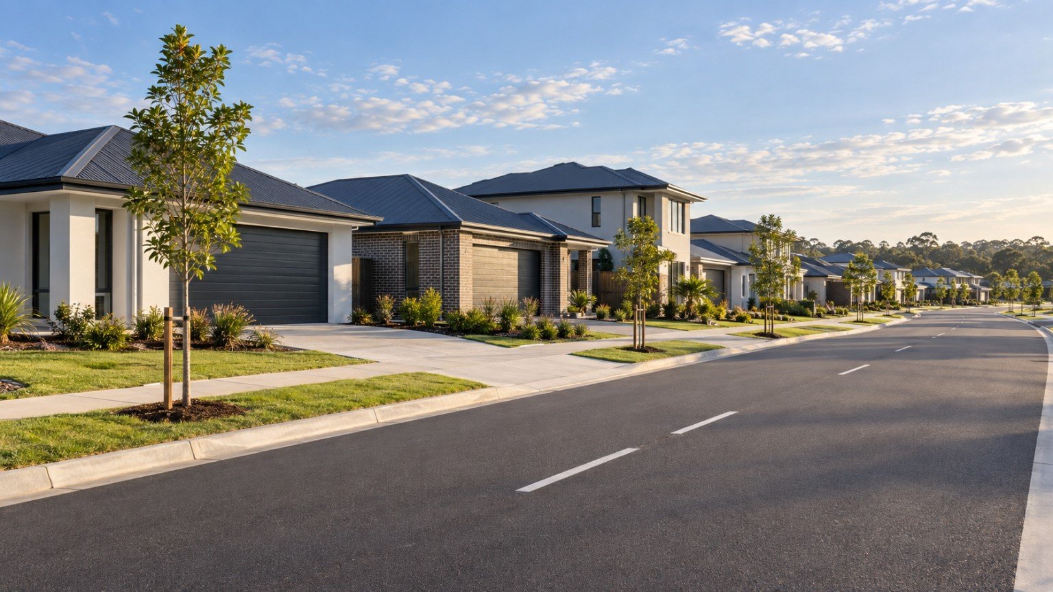
Logan Reserve Suburb Overview
Logan Reserve is a residential suburb located within the City of Logan, Queensland, carrying the postcode 4133. Situated in the outer-southern region, the area has established itself as a growing residential community. Positioned in proximity to the Logan River, the suburb offers a mix of natural surroundings and expanding residential footprints for households evaluating property options across south-east Queensland.
As an outer-southern residential locality, Logan Reserve is administered under the local government area of the Logan City Council. The council handles municipal infrastructure, local planning, and civic maintenance, which together shape the ongoing development across the postcode 4133 area.
Residential Developments and Neighbourhood Profile
The primary housing structure across Logan Reserve consists of family-centric residential developments. These master-planned and infill subdivisions provide varied block sizes and modern housing configurations tailored toward growing families, prospective owner-occupiers, and property investors.
Because Logan Reserve operates as a growing residential suburb, the physical landscape has steadily shifted toward structured residential estates. Buyers analysing the area through property intelligence metrics frequently examine streetscapes, lot orientations, and proximity to core neighbourhood amenities when evaluating long-term suitability.
Local Infrastructure and Education
Educational infrastructure inside the suburb boundary includes Logan Reserve State School. Located directly within the suburb, Logan Reserve State School provides primary education services to local children, making it a focal point for families residing in surrounding residential developments.
Connectivity across Logan Reserve and into neighbouring districts is facilitated by key transport corridors. Primary access is provided via Waterford-Tamborine Road, which connects residents to adjacent commercial, retail, and transit hubs across the City of Logan. This arterial route supports daily commuting and local transport requirements for households throughout the 4133 postcode area.
Demographic and Census Data Insights
Official demographic, housing, income, and population data for Logan Reserve is compiled by the Australian Bureau of Statistics via the 2021 ABS Census. These statistics provide detailed insights into community composition, household sizes, median income levels, and ownership patterns across the suburb.
Analysing Census data enables property researchers to evaluate broader structural trends without relying on anecdotal estimates. The 2021 ABS Census records foundational metrics regarding dwelling types, occupancy rates, and family structures that help establish a baseline understanding of Logan Reserve.
Property Intelligence and Market Evaluation
When assessing property in Logan Reserve, reviewing current market metrics requires consulting updated data streams. Property market data is sourced from third-party business aggregators (Realestate.com.au/Domain) and should be used as a guide only.
Because median prices, rental yields, and transaction volumes change frequently based on broader macroeconomic factors and local supply, static figures should not be relied upon for long-term financial modeling. Prospective buyers and investors should verify live market listings and recent sales records directly through primary real estate portals prior to making acquisition decisions.
Narevella provides property intelligence and analytical context to help buyers interpret suburban trends across Queensland. By evaluating geographic proximity to the Logan River, accessibility via Waterford-Tamborine Road, local schooling options such as Logan Reserve State School, and municipal governance under Logan City Council, buyers can make informed decisions grounded in verified data.


Join The Discussion