
 by
by 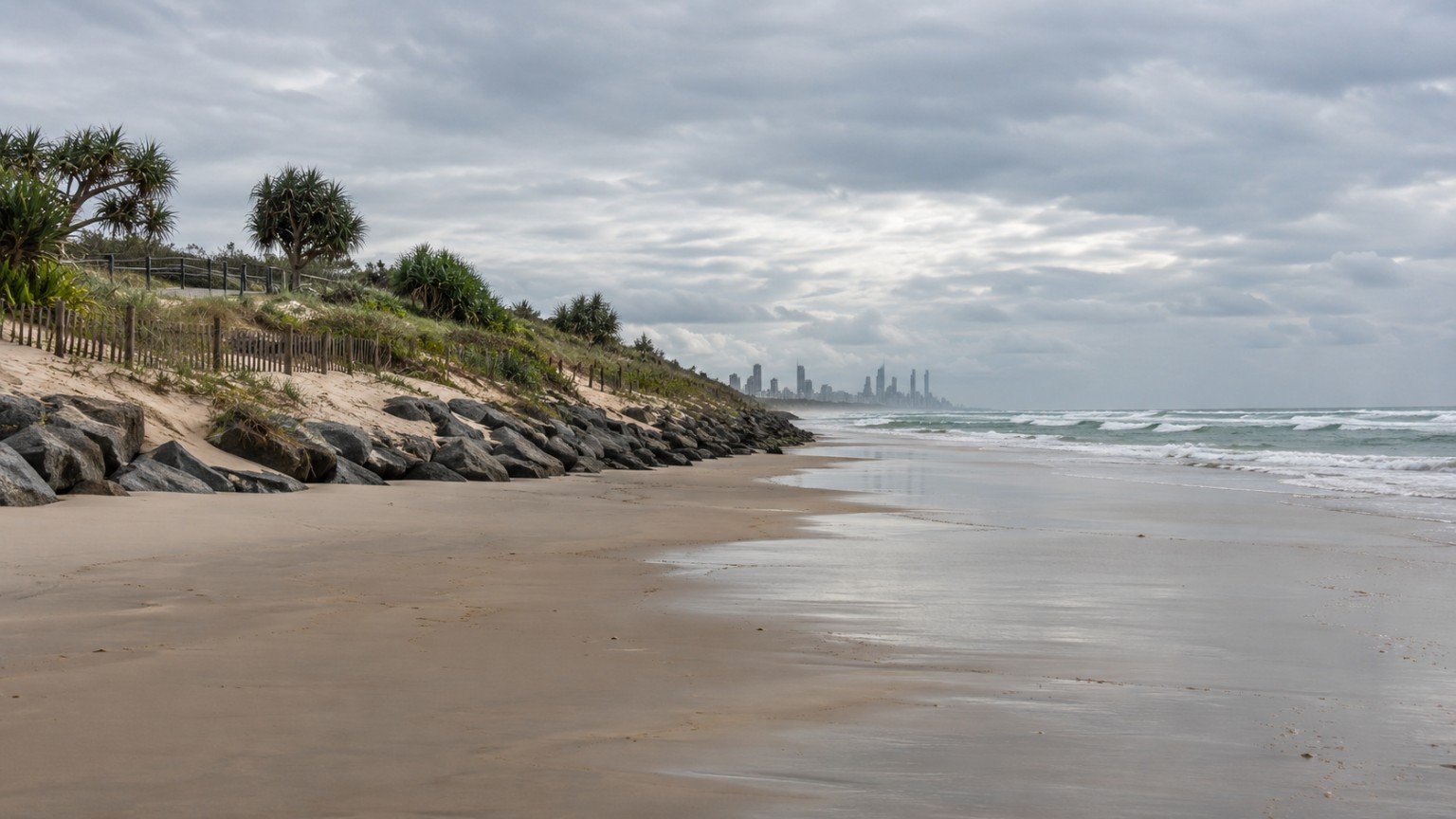
The Gold Coast is a long, exposed, ocean-facing stretch of coastline, and like most coastlines of its kind, it has an established, ongoing relationship with coastal erosion management. For anyone considering an ocean-facing or near-beachfront property, understanding what that actually means in practice, rather than reacting to the general idea of “beach erosion”, is genuinely useful context. This is not a hidden problem or a red flag. Coastal erosion and beach nourishment are normal, well understood parts of coastal engineering here, and treating them calmly is the right approach.
What Beach Nourishment Actually Is
Beach nourishment, sometimes called beach replenishment, is essentially the practice of pumping sand onto an eroding beach to rebuild it. It is often paired with structures designed to help retain that sand once it is there, such as artificial reefs or groynes. It is a widely used, well-established coastal engineering technique used on exposed beaches around the world, not something unique or unusual to the Gold Coast.
Palm Beach: A Well-Documented Case Study
Palm Beach is one of the Gold Coast’s most clearly documented examples of this kind of coastal management. The suburb has a history of coastal erosion dating back decades, including historical training walls and seawalls built near the Tallebudgera Creek and Currumbin Creek entrances to help manage sand movement around those openings. More recently, Palm Beach was the site of the Palm Beach Shoreline Protection Project, an approximately $18 million council-led beach nourishment and artificial reef project that began construction in 2019. The project used offshore dredging combined with an artificial reef structure, specifically designed to help retain sand on the beach and manage ongoing erosion and storm-tide exposure. For more on the suburb itself, see the Palm Beach suburb guide.
Why This Is Normal, Established Practice Here
A long, open, ocean-facing coastline like the Gold Coast’s is always going to experience some degree of natural sand movement and erosion over time, particularly around creek entrances and during storm events. Responding to that with nourishment and protective structures is standard, established coastal engineering, not a sign of an unusual or hidden problem with a particular beach or suburb. That said, it is still genuinely useful for a buyer to understand that this kind of work exists and why, rather than forming a view purely on general coastal reputation.
Coastal Hazard Mapping and the City Plan
It is worth understanding that coastal hazard mapping is a distinct layer of information from the local flood-mapping tools that cover riverine and canal flood risk. State-level coastal hazard mapping specifically covers erosion-prone areas and storm-tide inundation along the coast. On top of that, the City of Gold Coast’s City Plan includes a Coastal Hazard Overlay, which applies specific development controls in relevant coastal areas. Together, these are the tools that actually speak to erosion and storm-tide exposure for a given address, rather than general assumptions based on a suburb’s coastal reputation.
What This Means for Buyers
If you are looking at an ocean-facing or near-beachfront property anywhere on the Gold Coast, including well-regarded beachfront suburbs like Burleigh Heads, the sensible approach is the same one that applies to flood research generally: check the official City of Gold Coast flood and coastal-hazard mapping tools for the specific address in question, rather than assuming risk, or lack of it, based on a suburb’s general reputation. The Queensland Property Research Checklist is a useful starting point for organising this kind of due diligence alongside the rest of your property research.
This article is general research information only, not financial or legal advice. Always check official City of Gold Coast and Queensland Government coastal hazard mapping for a specific address, and seek independent professional advice before making a property decision.



Join The Discussion