
 by
by 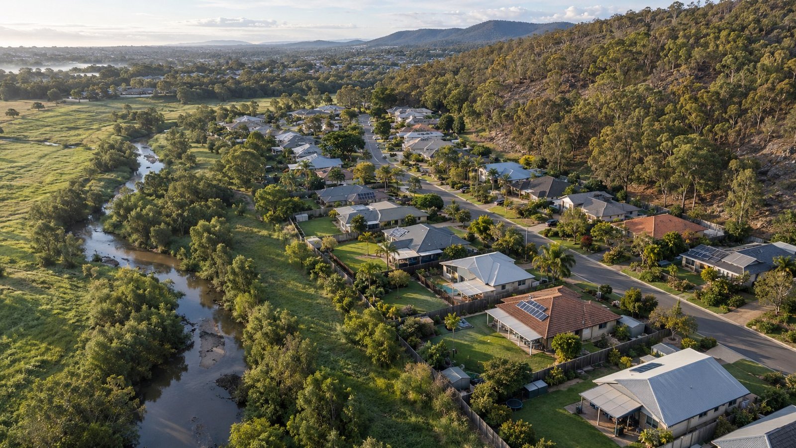
A planning overlay is a layer of extra rules that applies to a property in addition to its normal zoning, usually because of a specific risk or feature associated with the land, such as flooding, bushfire risk, heritage significance, or proximity to infrastructure.
Overlays do not necessarily mean a property is unsafe or a poor choice. Large parts of South East Queensland sit within some form of flood or bushfire overlay given the region’s climate and geography. What an overlay does mean is that building or renovation approvals for that property may come with additional requirements, such as minimum floor heights, specific building materials, or bushfire attack level assessments.
Overlay information is generally held by the relevant local council and is usually available through their planning scheme mapping tools. It is worth checking this for any property you are seriously considering, particularly if you are planning to renovate, extend, or build new, since overlay requirements can affect both feasibility and cost.
Insurance is the other practical angle worth checking. Properties in higher-risk flood or bushfire areas can attract higher insurance premiums, and it is worth getting an indicative quote before you commit to a purchase, not after.
None of this is a reason to avoid a property outright, but it is information worth having before you buy rather than after. Our Property Review service can help identify what overlays and planning references apply to a specific property, and our Property Rules, Tax & Government Updates section covers the broader regulatory environment as we build it out.



Join The Discussion