
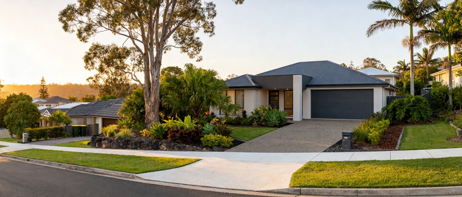
Ripley is one of the primary residential growth corridors in the Ipswich City Council local government area. Located south of the Cunningham Highway, the suburb sits roughly 5 kilometres south-east of the Ipswich CBD and between 40 and 45 kilometres south-west of the Brisbane CBD. For prospective home buyers exploring South East Queensland, Ripley represents a master-planned community underpinned by state-level urban planning frameworks and ongoing infrastructure investments.
The Ripley Valley Priority Development Area
To understand how Ripley is growing, buyers need to understand its planning framework. Ripley forms part of the Ripley Valley Priority Development Area, commonly abbreviated as the PDA. Declared by the Queensland Government on 8 October 2010, this PDA spans a large area of 4,680 hectares.
A Priority Development Area is a parcel of land identified by the Queensland Government to fast-track economic development and residential land supply. When a region is declared as a PDA, standard council planning rules are replaced by a dedicated statutory document known as the Ripley Valley PDA Development Scheme. In this area, development applications are assessed by Ipswich City Council against this statutory development scheme rather than standard local zoning bylaws. For home buyers, this means estate designs, land subdivisions, open spaces and road networks follow an overarching master plan designed for long-term urban delivery.
Long-Term Growth Targets and Population Expectations
The Ripley Valley PDA has been planned as a major housing hub to support the population growth of South East Queensland. Under official planning targets, the PDA is designed to support up to 48,750 dwellings and accommodate a projected population of approximately 131,000 residents once the area reaches full build-out.
When reviewing these projections, buyers must be careful with statistical boundaries. Data reporting often blurs the line between the gazetted suburb of Ripley, the broader 4,680-hectare Priority Development Area, and statistical areas such as SA2 regions used by demographic agencies. The target of 131,000 residents and nearly 50,000 homes applies to the entire multi-suburb PDA footprint across the valley, rather than the single suburb boundary of Ripley alone.
Demographic Profile and Community Character
Official census figures highlight the community profile that has emerged in Ripley during its development phases. According to the 2021 Australian Bureau of Statistics Census, the median resident age in the Ripley suburb area was 29 years. The Census also recorded a high proportion of young family households across the suburb.
This younger demographic profile reflects the predominance of modern detached houses, newly built estates and family-oriented buyers who have entered the market since the initial declaration of the PDA.
Local Education and School Catchment Rules
With a large share of young families moving into the region, local schooling is a central consideration for buyers. Ripley Valley State Secondary College provides secondary schooling options for the local community.
Because local educational facilities experience strong demand, Ripley Valley State Secondary College operates under an official School Enrolment Management Plan. An Enrolment Management Plan is a formal regulatory tool used by the Queensland Department of Education when a state school is operating close to or at its gazetted capacity. The plan restricts enrolments from families who reside outside the designated catchment area to ensure local children have guaranteed places.
Catchment boundaries can adjust as regional populations grow and new facilities open. Home buyers should not assume that every street or newly developed estate in the wider Ripley area falls automatically into the catchment for a particular school. The Queensland Department of Education provides an official mapping portal known as EdMap, where buyers can check individual street addresses to confirm current catchment status before signing a purchase contract.
Road Network Upgrades and Transport Infrastructure
As housing density increases across the valley, arterial road connections are undergoing planned expansions. A major component of local transport delivery includes the multi-stage upgrade of Ripley Road and Fischer Road.
This road project is supported by 73.6 million dollars in funding through the Queensland Government Residential Activation Fund. The upgrade focuses on expanding traffic capacity, improving road safety and supporting ongoing residential lot construction across the corridor.
Public transport planning is another area where buyers need accurate expectations. Regional strategic plans have long discussed future passenger rail extensions into the Ripley corridor to connect the valley with the broader Ipswich and Springfield rail networks. However, exact completion timelines for future rail links remain unconfirmed. Home buyers should not rely on speculative transit stations as operational infrastructure, but rather base their travel assessments on existing road corridors, including the Cunningham Highway, and current public transit options.
Buyer Considerations Before Purchasing
For buyers evaluating properties in Ripley, conducting thorough pre-purchase checks can avoid unexpected planning and lifestyle issues:
- Check the planning scheme: Confirm with Ipswich City Council whether your specific parcel of land sits within the statutory Ripley Valley PDA Development Scheme. This determines the assessment rules that apply to home modifications, auxiliary units and neighbouring development applications.
- Verify school catchments via EdMap: If access to Ripley Valley State Secondary College is a requirement for your household, enter the property address directly into the Queensland Department of Education EdMap tool to verify catchment eligibility under the active School Enrolment Management Plan.
- Evaluate commute routes: Base your daily travel calculations on the 5-kilometre distance to the Ipswich CBD and the 40 to 45 kilometres to the Brisbane CBD via the Cunningham Highway and connecting arterial roads, keeping active roadworks like the Ripley Road upgrade in mind.
- Distinguish valley-wide targets from suburb data: Keep in mind that headline projections of 48,750 dwellings and 131,000 residents represent the full build-out across the 4,680-hectare PDA, which will unfold across multiple stages and broader precinct boundaries.
Where Narevella Can Help
If you are weighing up Ripley against other growth corridors in South East Queensland, our free Compare Suburbs tool puts two areas side by side. If you would rather describe what you are looking for and let us help narrow it down, try Find Property For Me.




Join The Discussion