
 by
by 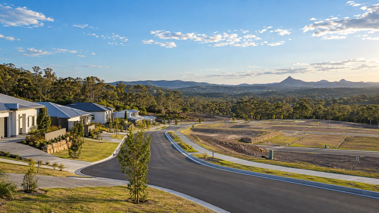
Planning Framework and Regional Greenfield Designation
Park Ridge is established as a strategic greenfield urban growth corridor in the City of Logan. The area is undergoing a broad transition from semi-rural land into medium-to-high density residential, commercial, and industrial use. This structural shift reflects the long-term regional strategy to convert lower-density rural holdings into an organized urban environment.
The ongoing development across Park Ridge is guided by coordinated regional and local planning policies. The South East Queensland Regional Plan, officially known as ShapingSEQ, designates South West Logan and Park Ridge as major greenfield expansion corridors. Under the local municipal planning structure, Park Ridge is designated as part of the Park Ridge Master Planned Area (PRMPA) under the Logan Planning Scheme. Together, these planning policies dictate how land is zoned, developed, and serviced as the area transitions from semi-rural acreage into medium-to-high density residential, commercial, and industrial development.
Demographic Profile and Dwelling Baseline
Statistical metrics from the 2021 Census provide a clear picture of the suburb’s established residential base during its early expansion phase. Park Ridge had a population of 11,288 residents as of the 2021 Census. During the same census period, the 2021 Census recorded 3,695 private dwellings in Park Ridge.
The demographic landscape of Park Ridge is largely characterized by young families and commuters who travel to surrounding employment hubs, including Brisbane, Logan Central, and Ipswich. The ongoing delivery of new residential subdivisions provides housing options tailored to these young families and regional commuters who rely on direct road access to nearby major employment destinations.
Major Residential Estates and Housing Delivery
Residential growth in Park Ridge is primarily supported by major master-planned residential projects. These estates facilitate the transition from semi-rural land holdings into structured, medium-to-high density residential neighborhoods.
Among these projects, Carvers Reach is a master-planned residential project in Park Ridge developed by Golden Group. In addition to Carvers Reach, ongoing residential growth in the area is supported by major estates including Harvest & Chambers Ridge, as well as Park Ridge Heights. Together, these master-planned residential developments deliver modern housing stock within the Park Ridge Master Planned Area framework, meeting the demand generated by young families and regional commuters.
Transport Infrastructure and Urban Connectivity
The integration of Park Ridge into the broader South East Queensland network depends on key regional road infrastructure. Park Ridge infrastructure includes connectivity to the Mount Lindesay Highway and Logan Motorway.
This transport network plays a critical role for local residents and commercial operators. Connectivity to the Mount Lindesay Highway and Logan Motorway provides essential commuter access to Brisbane, Logan Central, and Ipswich. Furthermore, these major road connections support local business operations, freight movement, and retail activity centered within the suburb.
Retail, Community, and Industrial Allocations
Urban planning within the Park Ridge Master Planned Area incorporates essential social and economic infrastructure to support the expanding resident population. Retail and community needs are served by the Park Ridge Town Centre and local schools, providing fundamental everyday amenities and education options within the local area.
Beside residential and retail precincts, the local land-use layout provides dedicated space for employment and industrial development. Dedicated land along Crest Road and Clarke Road is allocated for light industry, warehousing, and logistics. By establishing designated zones for light industry, warehousing, and logistics along Crest Road and Clarke Road, the planning framework supports the transition of semi-rural land into balanced residential, commercial, and industrial uses within the City of Logan.



Join The Discussion