
 by
by 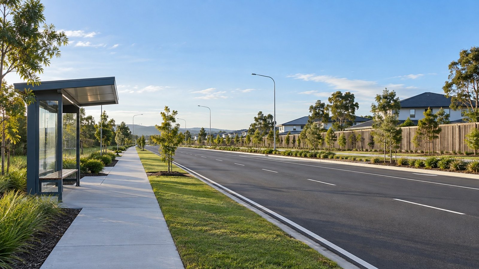
Location and Strategic Setting
Park Ridge is located in Logan City, approximately 28 kilometres south of the Brisbane central business district. For property researchers, investors, and prospective residents assessing the outer southern Brisbane corridor, transport accessibility represents a central feature of the suburb’s profile. Commuting options in Park Ridge are defined by a combination of major arterial highway links, a dedicated central bus terminal, and external passenger rail connections situated in adjacent suburbs.
Highway Network and Road Access
Road infrastructure in Park Ridge centers on the Mount Lindesay Highway, which serves as the suburb’s primary roadway access. Motorists traveling north or south rely on this highway for daily local trips and broader regional travel. The Mount Lindesay Highway connects directly to two major motorways: the Logan Motorway and the Gateway Motorway. These highway connections facilitate movement across the wider Logan City region, toward Brisbane Airport, over to the Sunshine Coast, and west toward Ipswich.
Driving times from Park Ridge to the Brisbane CBD are typically estimated between 30 and 45 minutes under standard conditions. However, actual journey durations are highly dependent on prevailing traffic conditions, particularly during peak morning and evening travel periods along the Mount Lindesay Highway corridor.
Public Transport and the Crest Road Hub
Public transport within Park Ridge relies primarily on bus services operating out of a central transit facility. The Park Ridge Transit Centre and Park ‘n’ Ride hub is located on Crest Road. This facility serves as the main passenger hub for Translink services in the area, offering parking amenities for bus commuters connecting to local and regional destinations.
From the Crest Road Park ‘n’ Ride, Translink operates regular bus routes to nearby commercial and retail hubs, including Browns Plains, with direct stops at the Grand Plaza shopping center, as well as connections to Springwood. Furthermore, the Crest Road transit hub provides express bus routes traveling directly into the Brisbane City CBD, offering a direct transit alternative for daily commuters who prefer not to drive into the city center.
Passenger Rail Accessibility
There is no direct passenger rail station located within the boundaries of Park Ridge. Residents who prefer train travel must access stations situated in nearby suburbs along the passenger rail network. The closest passenger train stations to Park Ridge are Loganlea station and Kingston station. Both of these facilities operate on the combined Gold Coast and Beenleigh railway line.
Reaching either Loganlea or Kingston station requires approximately a 10 to 15 minute drive from central Park Ridge. Once at these stations, commuters can access frequent train services running north toward Brisbane City or south toward the Gold Coast region.
Summary of Commuter Options
Overall, transport from Park Ridge is characterized by distinct highway and bus infrastructure. Drivers rely on the Mount Lindesay Highway for connections to the Logan Motorway and Gateway Motorway, with journey times to the Brisbane CBD subject to traffic conditions. Public transit users depend on the Crest Road Park ‘n’ Ride hub for Translink bus routes linking to Grand Plaza in Browns Plains, Springwood, and express city services. While direct train access requires a 10 to 15 minute drive to Loganlea or Kingston stations, the suburb’s integrated bus hub and road connectivity provide structured transit channels across Logan City and greater Brisbane.



Join The Discussion