
 by
by 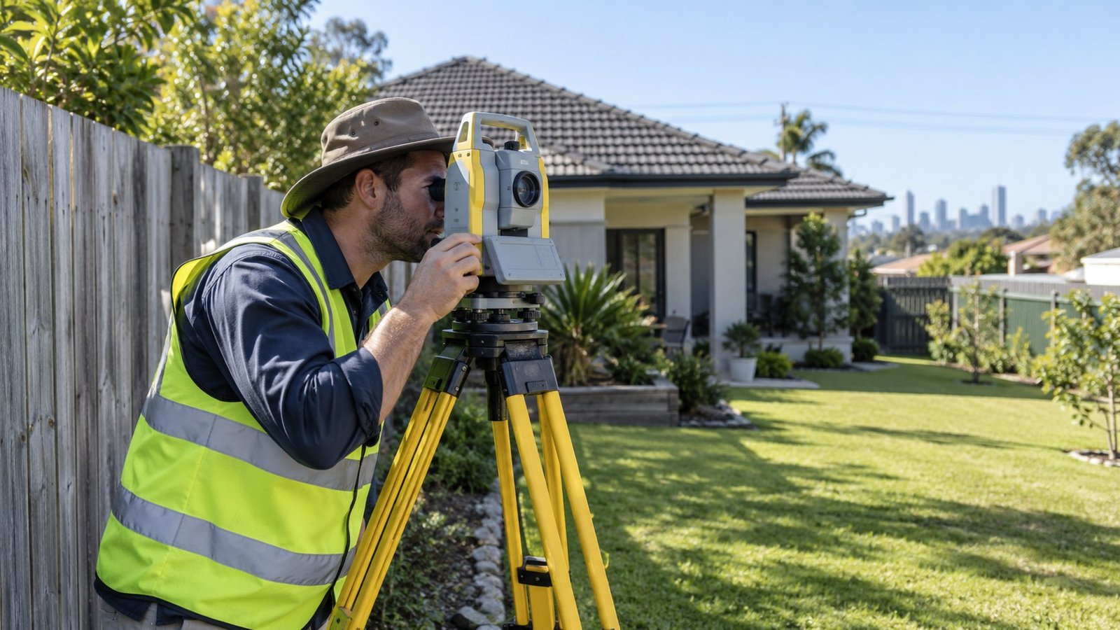
Where a fence sits and where a property’s legal boundary actually runs are not always the same thing. This guide explains how Queensland property boundaries are legally defined, common misunderstandings, and when a professional survey is worth getting.
Title Boundaries vs Physical Fences
A property’s legal boundary is defined by its registered survey plan and the Lot on Plan description shown on the title, not by the location of a fence. Fences are often placed close to the true boundary, but they can be built off the mark, sometimes by a meaningful distance, particularly on older properties where fences have been replaced multiple times over the decades without a survey to confirm the exact line each time.
What a Survey Plan Shows
The registered survey plan defines the legal shape and dimensions of a lot. See our guide to reading a Queensland property title search for how the Lot on Plan description appears on a title. A current or identification survey, carried out by a registered cadastral surveyor, physically locates that legal boundary on the ground and compares it to existing fences, structures, and other features.
Encroachments
An encroachment happens when a structure, such as a shed, fence, retaining wall, or even part of a building, crosses the legal boundary onto a neighbouring property. Encroachments can go unnoticed for years until a survey, a renovation, or a boundary dispute brings them to light, and resolving one after you have already bought can be far more difficult than checking beforehand.
Fences Are Not Proof of the Legal Boundary
One of the most common buyer misunderstandings is assuming that an existing fence, especially a long-standing one, must mark the true boundary. Neighbours agreeing on a fence line does not change the legal boundary recorded on title, and a fence built in the wrong place remains in the wrong place regardless of how long it has stood or whether both sides have treated it as correct.
Easements and Access
Boundaries are closely related to easements, since many easements run along or near a boundary line to provide drainage or access rights. See our guide to what an easement means for a property for how these registered rights can affect what you can do near a boundary.
When a Cadastral Surveyor May Be Needed
If you suspect an encroachment, are buying an older property with an unclear boundary history, or are planning to build close to a boundary, engaging a registered cadastral surveyor to confirm the true boundary is a reasonable step before you commit to a design or rely on an existing fence line.
Where This Fits Into Your Research
Boundary issues often come up alongside retaining walls built on or near a boundary. See our guide to retaining walls in Queensland and our broader guide on what to check before making an offer.
Where Narevella Can Help
Our free Queensland Property Research Checklist covers title and boundary checks alongside the wider research process. For a specific address, our Property Review can help.
Disclaimer
This guide provides general research information only and is not a survey or legal advice. If you have any doubt about where a property’s true boundary lies, engage a registered cadastral surveyor and consult your conveyancer or solicitor before proceeding.



Join The Discussion