
 by
by 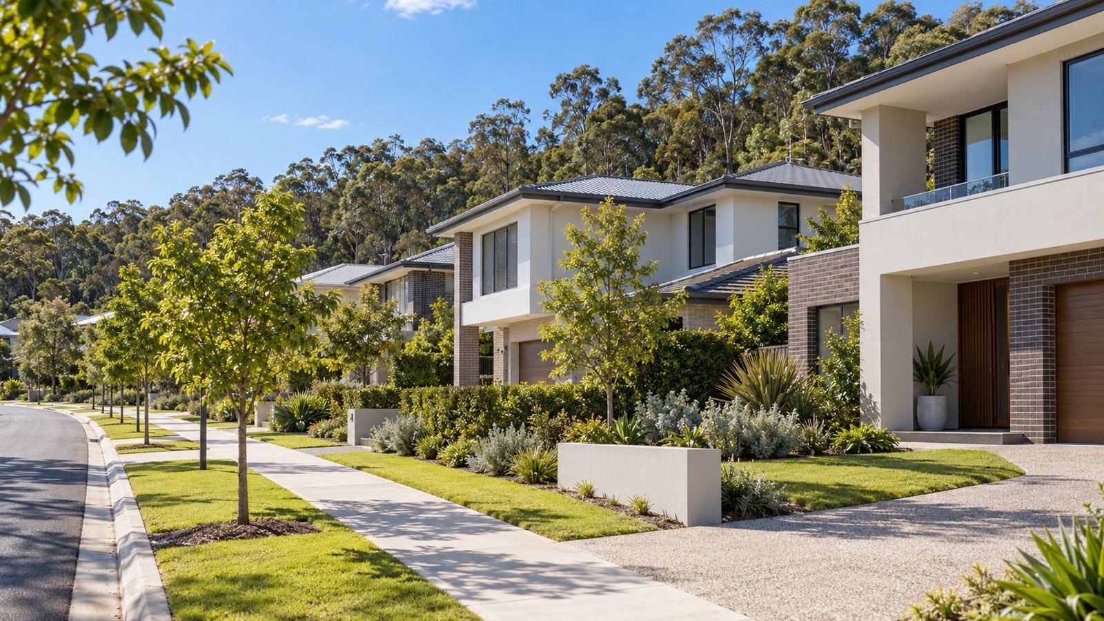
Eight Mile Plains is a southern Brisbane suburb within Brisbane City Council, recognised by council as part of a key economic growth area alongside neighbouring Rochedale, reflected in the adopted Eight Mile Plains Gateway Neighbourhood Plan.
Population and Housing
The 2021 Census recorded 15,326 people in Eight Mile Plains. Housing is strongly house-dominated: 64.4% separate houses, 26.1% semi-detached or townhouses, and 3.3% flats or apartments.
Transport
There is no railway station in Eight Mile Plains. The Eight Mile Plains busway station, on the South East Busway at Miles Platting Road, sits within the suburb and provides direct bus access toward the city and Griffith University.
Schools
Eight Mile Plains State School, on Underwood Road, is the suburb’s public primary school. There is no state secondary school located within Eight Mile Plains itself; Runcorn State High School, in the adjoining suburb of Runcorn, is the nearest. As with any suburb, verify the exact catchment for a specific address using the Queensland Government’s official EdMap catchment tool.
Health
The Eight Mile Plains Satellite Health Centre and an associated community health centre, both operated by Metro South Health, are located within the suburb. These are health centres rather than a full acute hospital.
Planning and Development
Part of Eight Mile Plains, together with adjoining Rochedale, is covered by the adopted Eight Mile Plains Gateway Neighbourhood Plan, which Brisbane City Council describes as supporting the area’s role as a key economic growth precinct.
Flood and Property Due Diligence
Eight Mile Plains sits near the headwaters of Bulimba Creek, which Brisbane City Council’s flood study data associates with this general area. This confirms genuine general context, but says nothing about any specific address. Before relying on a property in Eight Mile Plains, check the official Brisbane City Council Flood Awareness Map and order a FloodWise Property Report for the exact address.
Nearby Suburbs Worth Comparing
Rochedale (adjoining, covered by the same neighbourhood plan and also still developing), Runcorn (adjoining, established residential with its own train station) and Upper Mount Gravatt or Mount Gravatt East (nearby, more commercial in character) are worth comparing if you are considering Eight Mile Plains.
Useful Narevella Reading
If you are researching a specific Eight Mile Plains property, Narevella’s guides on checking nearby development applications and flood risk checks cover the due diligence that matters most in a growth-area suburb like this one.
Once you have a shortlist, Compare Suburbs can help you weigh Eight Mile Plains against nearby areas side by side, or Find Property For Me if you would like Narevella’s help identifying suitable properties.
This guide is general research information only, not a recommendation about any specific school, provider, service or investment outcome.



Join The Discussion