
 by
by 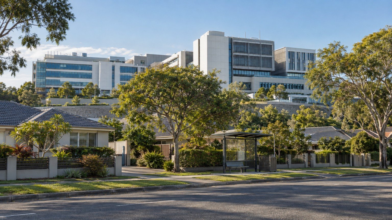
Narevella already has a guide to buying near a main road, railway or flight path — a piece of infrastructure that brings both amenity and a genuine trade-off. A hospital or major health precinct deserves exactly the same treatment, and nothing on the site currently covers it as a standalone research question. This is a Queensland-wide due-diligence workflow. It does not make any claim about any specific hospital’s size, expansion plans or timeline — that level of local detail belongs to individual suburb research, not a general workflow article.
Both sides of the trade-off
The upside of living near a hospital or health precinct is real: fast access to emergency and specialist care, generally strong bus and transport servicing, since health precincts attract significant public transport investment, meaningful local employment, and the amenity that tends to follow a large workforce.
The downside is also real and worth naming plainly: hospitals operate 24 hours a day, which means ambulance and sometimes helicopter movement at all hours; shift changes create traffic peaks at times that do not match the standard commuter pattern; staff and visitor parking can spill into surrounding residential streets; and large health precincts are frequently accompanied by higher-density zoning on nearby land than the wider residential area around them.
The concrete research checklist
1. Check the zoning of the property and the land between it and the precinct
Health precincts frequently sit within, or beside, a specific-purpose or mixed-use zone with a much higher development ceiling than the surrounding residential zoning. Understanding that zoning gradient tells you what could realistically be built between your property and the precinct over time. See Narevella’s guides to zoning and property overlays and how to check property zoning in Queensland.
2. Run the council’s development application tracker for the precinct
Hospital precincts are among the most actively redeveloped land in any city. Checking current and recent development applications around the precinct gives you a much more current picture than the zoning alone. Narevella’s guide to nearby development and planning applications covers how to run this search properly.
3. Check whether the precinct sits within a state-facilitated or priority development pathway
Some precincts are subject to development pathways that sit outside the normal council assessment process. Narevella’s article on Robina’s planning rewrite and the Lakesview development is a live, worked example of exactly this dynamic in a different context, and is worth reading to understand what this kind of pathway can mean in practice.
4. Visit at 6:30am and again at 10pm
Shift changes, not daytime traffic, tend to define the real noise and parking experience of living near a hospital. A daytime inspection alone will not show you this.
5. Check for a resident parking permit scheme on the street
If one already exists, that is a reliable signal that spillover parking from the precinct is a known, established issue in the area, not a hypothetical one.
6. Check helicopter approach paths, if the hospital has a helipad
Major tertiary hospitals in Queensland commonly have helipads. This article does not name any specific hospital’s helipad or approach path, since that detail was not verified for this piece — if this is relevant to a specific property, it is worth asking the council or checking published flight path information directly.
The “funded versus planned” discipline
A hospital expansion announcement is not the same thing as funded construction, and funded construction is not the same thing as an operating bed. Narevella already applies this distinction carefully in its Coomera 2026 infrastructure pipeline article, which is worth reading as the model for how to approach any health infrastructure claim you come across during your own research — treat every stage of a project separately rather than assuming an announcement means a finished facility. The same approach applies to Narevella’s article on Logan Hospital’s expansion, a further worked example of separating an announced figure from a confirmed one.
If you are choosing to be near a hospital
For health workers, families managing ongoing care needs, or downsizers prioritising future health access, walkability and reliable transport at shift hours matter more than raw distance on a map. A property 800 metres away across a six-lane arterial road can, in practical terms, be functionally further from the hospital than one 1.5 kilometres away on a direct, well-serviced bus route. If you are researching this as part of a downsizing move, Narevella’s guide to downsizing research covers the location-shift side of that decision.
Bringing it together
Proximity to a hospital is neither automatically good nor automatically bad — it is a set of trade-offs that need to be researched at the specific address level, the same way any other infrastructure proximity question should be. Zoning, development applications, timing of your site visits and the funded-versus-planned status of anything nearby all belong on the same checklist. Narevella’s second property inspection checklist is a useful companion once you are down to a shortlist, and Compare Suburbs is the tool for testing a hospital-adjacent option against an alternative.
This article is general research information only and does not consider your personal circumstances. It is not planning, medical or investment advice, and Narevella is not an agency, adviser, valuer or planner. Zoning, development activity and transport servicing change over time — always confirm the current position for a specific address with the relevant council.
Useful Narevella Reading
- Compare Suburbs
- Find Property For Me
- Queensland Property Research Checklist
- Premium Property Review — a deeper, structured research report on a specific property


Join The Discussion