
 by
by 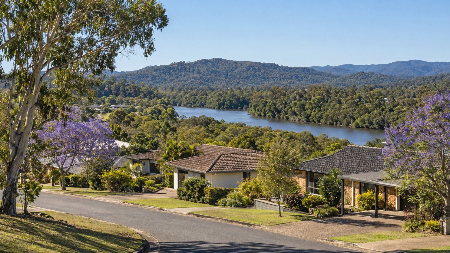
Nerang sits centrally within the City of Gold Coast local government area, functioning less as a beachside address and more as a genuine transport and commercial hub for the region’s central and hinterland-fringe corridor. Long before many of the Gold Coast’s coastal suburbs became household names, Nerang was already established as a service town, and that legacy still shows today in its role as a connector between the coast, the hinterland and Brisbane.
Housing and Population in Nerang
According to 2021 Census data (SAL32117), Nerang is home to around 17,048 residents, with an average household size of 2.5. A detailed dwelling-type breakdown was not compiled for this guide, so buyers weighing up house, townhouse or unit stock should confirm the current mix directly with a local agent or the latest Australian Bureau of Statistics release rather than assuming any single housing type dominates.
Transport: Nerang’s Standout Asset
Nerang railway station, on the Gold Coast line, gives residents a direct rail journey to Brisbane Central and Roma Street, a genuinely realistic commute option that distinguishes Nerang from many purely coastal Gold Coast suburbs. Journey times are commonly cited in the region of 66 to 75 minutes, but this figure should be treated as an estimate rather than a settled fact. Anyone relying on the commute for work should confirm the current Queensland Rail Gold Coast line timetable directly before making a decision, since timetables and journey times can change.
Nerang station also functions as a rail access point for the nearby stadium and events precinct, with shuttle buses running on event days. Buyers considering how Nerang’s transport position compares with a growth-corridor suburb further north should look at Narevella’s Coomera infrastructure pipeline article, which sets out what is actually funded versus merely planned in that growth corridor, a useful contrast to Nerang’s already-established rail access.
Schools and Catchments
Nerang State High School operates under an equidistant catchment, has a stated capacity of around 1,317 students, and was gazetted as an Enrolment Management Plan (EMP) school in August 2025. Nerang State School is also governed by an Enrolment Management Plan. Being within a general catchment area for either school does not guarantee a place, and EMP status makes this especially important to check. Prospective buyers should always verify the exact catchment boundary for a specific address using the Queensland Government’s EdMap tool before assuming a child will be able to enrol, and Narevella’s school catchment verification guide explains the process in more detail.
Health Services Near Nerang
A specific health facility for Nerang was not confirmed in detail for this guide. Robina Hospital is the likely nearest major public facility given the pattern seen elsewhere in this corridor, but this has not been independently verified for Nerang specifically, so treat it as a starting point for your own research rather than a confirmed fact.
Shopping and Local Amenities
Nerang functions as a commercial and service hub for its hinterland-fringe catchment, though specific centre names were not itemised for this guide. Buyers should expect a reasonable local retail and service offering consistent with an established town centre, and should confirm current tenancy details directly if a particular shop or service matters to their decision.
Parks and Open Space
Detailed park and open space information for Nerang was not compiled for this guide. The Nerang River runs through or near the suburb and is a feature worth exploring in person, alongside the wider hinterland-fringe outdoor access the area offers.
Planning and Development
No dedicated neighbourhood plan was identified for Nerang beyond its established role as a transport and commercial hub. As with any Gold Coast suburb, buyers should check the current City Plan zoning and any applicable overlays for a specific lot directly with the City of Gold Coast before purchasing, rather than relying on a general description of the suburb’s character.
Flood Risk and Hazard Research
The standard City of Gold Coast three-layer Flood Maps tool applies to Nerang, as it does across the local government area. The Nerang River runs through or near the suburb, which makes waterway proximity a plausible relevant factor for riverside addresses specifically, though this has not been confirmed at a suburb-wide level. Never treat a flood assessment as applying to the whole suburb: always check the official council flood tool for the specific address you are considering, particularly if it sits near the river.
Family and Buyer Considerations
The direct Brisbane rail commute is arguably Nerang’s standout family and buyer-relevant fact, offering a genuine “Gold Coast suburb that also works for a Brisbane commute” positioning that differs from the beachside-lifestyle framing used for many other Gold Coast guides on this site. Before relying on that commute, confirm the current Queensland Rail Gold Coast line timetable directly rather than trusting a secondary-source journey-time estimate. Confirm school catchment status via EdMap given both local schools’ Enrolment Management Plan status, and check the official flood tool for the specific address, with extra care for any property close to the Nerang River.
Nerang Compared to Nearby Suburbs
Nerang shares a transport-access relationship with the stadium precinct at nearby Carrara, and sits within reach of both Southport and Surfers Paradise via the Gold Coast rail line, making it a genuinely useful comparison point for buyers weighing an established, transport-connected inland suburb against the coastal alternatives further along the same line.
Practical Research Checklist for Nerang Buyers
- Confirm the current Queensland Rail Gold Coast line timetable and realistic journey time to Brisbane before relying on the commute.
- Check school catchment status for Nerang State High School and Nerang State School via EdMap, given both schools’ Enrolment Management Plan status.
- Use the City of Gold Coast Flood Maps tool for the specific address, with particular care for any property near the Nerang River.
- Confirm current City Plan zoning and any applicable overlays directly with the City of Gold Coast for the specific lot.
This article is general property research information only, and is not financial, legal or valuation advice. Suburb boundaries, school catchments, flood mapping and planning provisions can change, so always verify current details with the relevant council, Queensland Government agency or a licensed professional before making a purchasing decision.



Join The Discussion