
 by
by 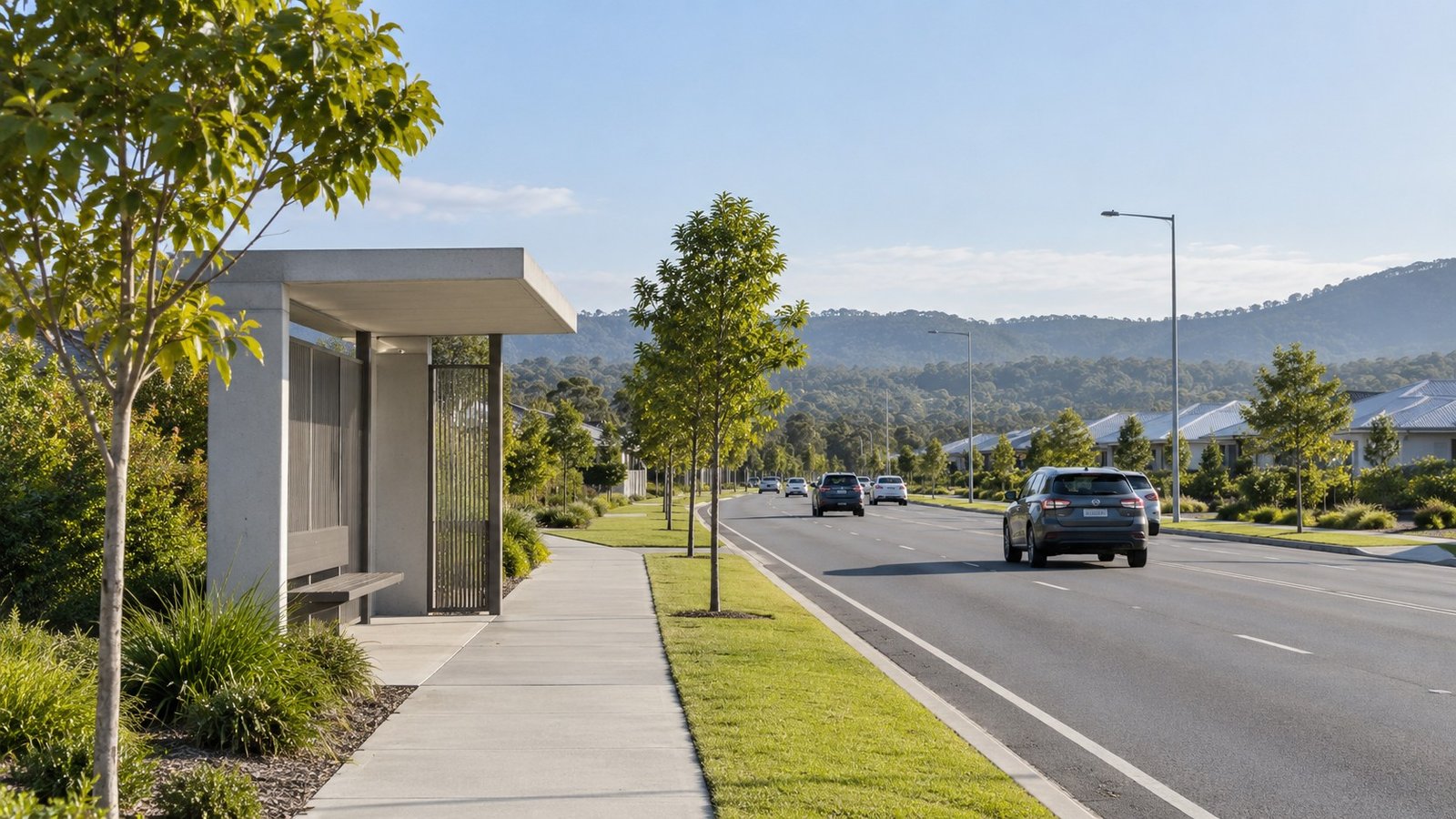
South Ripley is a major growth suburb situated within the Ripley Valley Priority Development Area (PDA). As urban development expands across this designated growth area, transport accessibility remains a central consideration for residents, buyers, and property analysts evaluating the region. The suburb is undergoing a gradual transition, moving from a traditionally car-dependent master-planned community toward an area planned for future high-capacity public transport integration. Understanding the practical realities of moving to and from South Ripley requires evaluating current road connections, existing bus services, nearby train stations, and long-term infrastructure proposals.
Road Network and Private Vehicle Connections
For residents who rely on private vehicles, road connectivity forms the primary foundation for daily commutes from South Ripley. The suburb is positioned near major highway infrastructure, notably the Centenary Highway and the Cunningham Highway. These major roadways serve as key connections for trips heading toward Ipswich, Springfield, or the broader South East Queensland road network.
Because private vehicle travel is currently the main transit mode across the area, driving travel times fluctuate depending on traffic conditions and time of day. Commute times by car vary based on peak-hour traffic and general congestion on these arterial highways, meaning travel durations are subject to traffic variations rather than fixed timelines.
Public Transport and Connecting Bus Services
Public transport within South Ripley currently relies on localized bus services to connect residential areas with surrounding commercial centers and transport hubs. Translink Bus Route 531 services South Ripley, offering a structured public transport connection for local residents. Route 531 provides key connections to Yamanto, Ipswich, and Springfield Central Station.
Because South Ripley does not feature an active passenger rail line within its immediate boundaries, direct rail access requires commuting to nearby neighboring stations. Passengers seeking rail services must travel to either Springfield Central station or Ipswich station. Commuters can reach these rail terminals by riding Bus Route 531 or by driving to the stations to use park-and-ride facilities.
Long-Term Infrastructure Planning and the I2S Project
Long-term transport strategy for South Ripley focuses on integrating high-capacity public transport to support sustained growth throughout the Ripley Valley Priority Development Area. The primary long-term infrastructure project planned for the region is the Ipswich to Springfield Public Transport Corridor, also referred to as the I2S corridor. The I2S corridor is currently a proposed project. The proposed route is intended to link Ipswich and Springfield Central via Ripley and South Ripley.
While the I2S corridor represents the central focus of future public transport integration in the suburb, several details remain unconfirmed. The project is not currently under construction, and there is no confirmed completion date or set delivery schedule. Furthermore, the final implementation method for the I2S corridor, including whether it will operate as heavy rail or another form of high-capacity public transport, has not been finalized.
Evaluating South Ripley’s Transport Transition
South Ripley’s transport options reflect its ongoing evolution within the Ripley Valley PDA. At present, accessibility is built around major road infrastructure, including the Centenary Highway and Cunningham Highway, alongside Translink Bus Route 531 connecting to rail links at Springfield Central and Ipswich stations. For property intelligence and regional analysis, monitoring the progression of proposed projects like the I2S public transport corridor provides essential insight into how South Ripley will transition from a car-dependent growth area into a better-connected public transport hub.



Join The Discussion