
 by
by 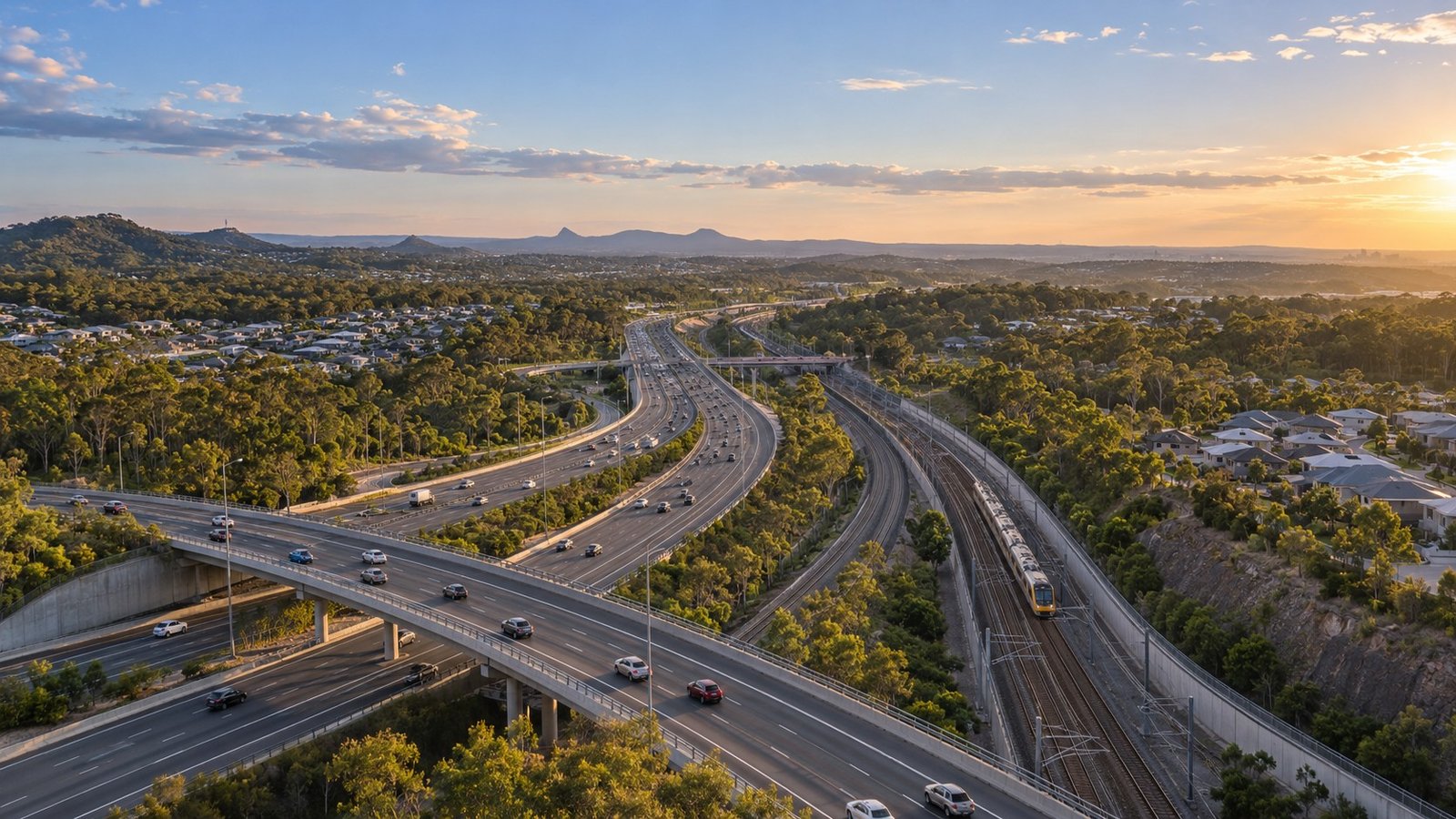
Springfield’s transport framework relies on multi-modal connectivity that links residents to local hubs, neighboring suburbs, and the Brisbane central business district. For daily commuters and property researchers evaluating access within Ipswich, the suburb features passenger rail infrastructure, arterial road links, local feeder buses, and active transport paths.
Rail Infrastructure and Passenger Services
Passenger rail services form a central pillar of Springfield’s transit network. The suburb is serviced by two main passenger stations: Springfield Station and Springfield Central Station. Both facilities sit on the Springfield Line, which is operated by Queensland Rail under Translink’s integrated ticketing system.
Train services running along the Springfield Line travel through Darra before continuing into the Brisbane central business district. Key stops along this route include prominent inner-city stations such as South Bank, Roma Street, Central, and Fortitude Valley. This direct routing provides structured transit connections to key employment, health, and cultural precincts across Brisbane.
To support multi-modal travel for suburban commuters, Springfield Central Station includes a commuter car park equipped with over 1,100 parking spaces. This infrastructure allows drivers from surrounding residential pockets to park their vehicles securely before transferring to Queensland Rail passenger services.
Arterial Road Network and Highway Connections
For motor vehicles, connectivity between Springfield and regional employment hubs relies on key motorway corridors. The Centenary Highway (M2) functions as the primary arterial road connecting Springfield directly to the Brisbane central business district.
In addition to the Centenary Highway (M2), the Logan Motorway (M6) provides major road arterial access, connecting the area to wider South East Queensland road networks. Vehicle travel times between Springfield and the Brisbane CBD typically fall within an estimated range of 35 to 55 minutes under standard conditions, compared to rail travel times of approximately 40 to 45 minutes. Commute times are estimates based on standard conditions and vary by peak traffic and service status.
Local Bus Network and Key Destinations
Local bus services integrate residential zones with central commercial and educational infrastructure. Translink operates local bus routes, including routes 522, 526, 534, and 535, which service residential streets across the suburb.
These bus routes function as feeder connections to major local destinations, including the Orion Springfield Central shopping precinct and the University of Southern Queensland. By linking residential areas to these major centers as well as to Springfield Station and Springfield Central Station, the bus network facilitates local mobility without requiring reliance on private vehicle transport.
Active Transport Infrastructure
At the local government level, Ipswich City Council oversees local transport infrastructure and active transport paths throughout Springfield. The council manages municipal road networks and maintains pedestrian and bicycle infrastructure across the region.
Shared-use paths form the core of Springfield’s active transport network. These paths provide off-road connections for pedestrians and cyclists, linking residential sectors directly to bus stops, rail stations, local parks, and commercial hubs like Orion Springfield Central.
Summary of Springfield Transport Infrastructure
Evaluating Springfield’s access profile requires looking across its combined transit options:
- Passenger Rail: Serviced by Springfield Station and Springfield Central Station on the Springfield Line, operated by Queensland Rail under Translink ticketing. Services run through Darra to Brisbane CBD, stopping at South Bank, Roma Street, Central, and Fortitude Valley. Springfield Central Station includes over 1,100 commuter parking spaces.
- Arterial Roads: Connected via the Centenary Highway (M2) to Brisbane CBD, with access to the Logan Motorway (M6). Estimated transit times sit at 35 to 55 minutes by car and 40 to 45 minutes by train.
- Feeder Buses: Translink routes 522, 526, 534, and 535 link residential pockets to Orion Springfield Central, the University of Southern Queensland, and rail hubs.
- Active Transport: Integrated network of shared-use paths maintained by Ipswich City Council for walking and cycling.
Commute times are estimates based on standard conditions and vary by peak traffic and service status.



Join The Discussion