
 by
by 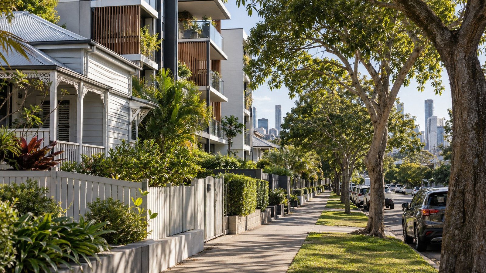
West End sits on a river peninsula about 2.9 kilometres southwest of the Brisbane CBD, bounded by the Brisbane River and neighbouring South Brisbane, Highgate Hill, and Milton, Toowong and Auchenflower across the water. It has long been one of Brisbane’s most multicultural inner-city suburbs, historically home to the city’s largest Greek-Australian community, and is now known for its café culture, arts scene and the Boundary Street precinct. This guide covers what’s genuinely useful to know before choosing West End, including some real, current planning and infrastructure changes worth understanding.
Population and Housing
West End sits within Brisbane City Council’s The Gabba Ward. At the 2021 Census, the suburb’s population was around 14,700 people (source figures vary slightly on the exact number). Housing is a mix of heritage Queenslander homes and older workers’ cottages alongside a growing amount of mid-rise and high-rise apartment development, particularly closer to the river and along Boundary Street. Buyers should expect ongoing apartment development to be a visible and continuing feature of the suburb.
Transport
West End does not have a heavy-rail or Cross River Rail station within the suburb itself. The nearest new Cross River Rail stations, Boggo Road at Dutton Park and Woolloongabba, are across the river or reached via the busway, not inside West End. Brisbane Metro, the battery-electric rapid bus system, has completed construction through South Brisbane and its routes are now operational, adding another public transport option for the area. On the river, the West End and Mowbray Park CityCat terminals serve the Boundary Street precinct directly, giving good ferry access into the city and to other riverside suburbs.
Schools
West End State School is the local public primary school. It operates an equidistant catchment, and enrolment is genuinely managed due to demand pressure on places, so proximity alone doesn’t guarantee a spot. Secondary schooling typically flows toward Brisbane State High School (which is partially selective), whose catchment explicitly includes the greater South Brisbane and West End community. As with any Brisbane suburb, always verify the specific address using the official Queensland Government EdMap tool (qgso.qld.gov.au/maps/edmap), since being within a catchment area never guarantees enrolment.
Health
Princess Alexandra Hospital at Woolloongabba (Metro South) and the Mater Hospital at South Brisbane are the nearest major hospitals, both a short trip from West End.
Shopping and Everyday Life
Boundary Street is the heart of West End’s shopping and dining scene, with a high concentration of ethnic and organic grocers alongside a strong, long-established café and restaurant culture. It’s one of the more distinctive retail strips in inner Brisbane and a big part of the suburb’s identity.
Parks and Local Life
West End is well served by green space. Davies Park hosts the well-known West End farmers’ market and local rugby league, Orleigh Park runs along the riverside, and Boundary Street Park and Bunyapa Park provide smaller local green space through the suburb. Musgrave Park is also a culturally significant Indigenous meeting place and a genuine community hub.
Planning and Development
West End and South Brisbane sit within Council’s Kurilpa planning area, and there’s real, current planning activity worth knowing about here. Council’s draft Kurilpa Riverfront Renewal master plan proposes a riverfront park, an amphitheatre under investigation, reclaiming part of Riverside Drive for parkland, and a high-frequency bus connection into the CBD. Separately, industry press has reported on a Kurilpa Sustainable Growth Precinct planning instrument that could allow significantly taller buildings in parts of the precinct, though this is subject to state government approval and hasn’t been independently confirmed to an exact figure. In practical terms, significant growth and height changes have been proposed for parts of the Kurilpa precinct, and anyone buying in the area should check the current status directly with Brisbane City Council rather than relying on a specific storey count as settled fact.
Flood and Property Due Diligence
West End is a suburb where flood history is genuinely well documented. It was affected by both the 2011 and 2022 Brisbane River flood events, with the 2022 event involving a combination of riverine, creek and overland-flow sources. This is a real, sourced fact for West End specifically, unlike some neighbouring suburbs where flood status is less clear-cut. That said, flood risk still varies significantly street to street and even property to property, so always check the official Flood Awareness Map and FloodWise Property Report (fam.brisbane.qld.gov.au) for the specific address you’re considering rather than relying on a blanket suburb verdict.
Nearby Suburbs Worth Comparing
West End is commonly compared with New Farm, South Brisbane, Highgate Hill and Kangaroo Point, each offering a different mix of river access, apartment density and lifestyle character.
Useful Narevella Reading
Our Compare Suburbs tool is a good way to weigh West End against other inner Brisbane options side by side. Given West End’s documented flood history, it’s worth reading our guide on flood risk checks before buying a property in Queensland and our guide to reading a Brisbane FloodWise Property Report before you go address-hunting. If you’re still deciding between areas, Find Property For Me can help narrow things down.
This article is general research information only and is not financial or legal advice. Always confirm specific details, including flood information, school catchments and planning provisions, directly with the relevant official sources before making a property decision.



Join The Discussion