
 by
by 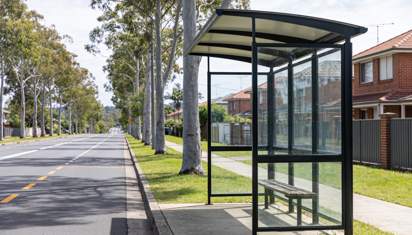
Calamvale is located approximately 18 km south of the Brisbane CBD. For prospective buyers, property investors, and local residents examining transport infrastructure in South East Queensland, evaluating how a suburb links to employment centers and major regional routes is an essential part of understanding property context. Public transport and road connectivity in Calamvale are defined primarily by a bus-centric transit system, strategic access to major arterial roads and motorways, and nearby rail connections on the Beenleigh train line.
High-Frequency Bus Services and Key Corridors
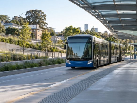
Public transport within Calamvale operates primarily through a bus-centric model. Rather than relying on a train line running directly through the middle of the suburb, Calamvale relies on high-frequency Bus Upgrade Zone (BUZ) services alongside City Express bus routes to move commuters to and from key urban centers.
Among the primary bus routes operating in and around Calamvale are routes 130, 140, and 150. These key services run along major established thoroughfares, specifically Beaudesert Road, Algester Road, and Mains Road. By operating along these heavy-traffic arterial roads, the bus network links Calamvale directly to central destinations, including the Brisbane CBD and the Cultural Centre. For daily commuters relying on public transport, these BUZ and City Express routes running along Beaudesert Road, Algester Road, and Mains Road provide consistent service options traveling north into the city.
Rail Infrastructure via Fruitgrove and Kuraby Stations
Although there are no passenger train stations located directly inside the suburban boundaries of Calamvale, rail access remains an important component of the local transport profile. Residents looking to travel by train utilize facilities in neighboring areas.
Fruitgrove station and Kuraby station serve as the primary rail access points for Calamvale residents. Both stations are located on the Beenleigh line and are situated approximately 3 to 5 km away from Calamvale. Commuters who prefer rail transit over bus travel can reach Fruitgrove station or Kuraby station via a short local trip, enabling them to board Beenleigh line services heading north toward the Brisbane CBD or south toward Beenleigh.
Road Infrastructure and Regional Motorway Access
For motorists, Calamvale offers direct connections to major local and regional road networks. Beaudesert Road provides direct north-south connectivity for Calamvale, carrying local traffic through the suburb while connecting seamlessly to adjacent areas in Brisbane’s southern corridor.
Beyond local arterial roads, Calamvale possesses direct road access to two of South East Queensland’s major motorways: the Logan Motorway (M2) and the Pacific Motorway (M3). These highway connections allow drivers to bypass suburban streets when traveling across the region. Via the Logan Motorway (M2) and the Pacific Motorway (M3), motorists in Calamvale have efficient transit options leading to several major regional destinations:
- The Brisbane CBD, situated roughly 18 km north
- Brisbane Airport for domestic and international travel
- Ipswich to the west via the Logan Motorway
- The Gold Coast to the south via the Pacific Motorway
Overview of Calamvale Accessibility
In summary, navigating Calamvale involves a combination of bus corridors, nearby rail access points, and major arterial road links. High-frequency bus routes 130, 140, and 150 along Beaudesert Road, Algester Road, and Mains Road offer direct public transit to the Brisbane CBD and Cultural Centre. Rail connections are accessible 3 to 5 km away at Fruitgrove and Kuraby stations on the Beenleigh line. For driving and freight transit, Beaudesert Road, the Logan Motorway (M2), and the Pacific Motorway (M3) provide access to Brisbane, Brisbane Airport, Ipswich, and the Gold Coast.
Join The Discussion