
 by
by 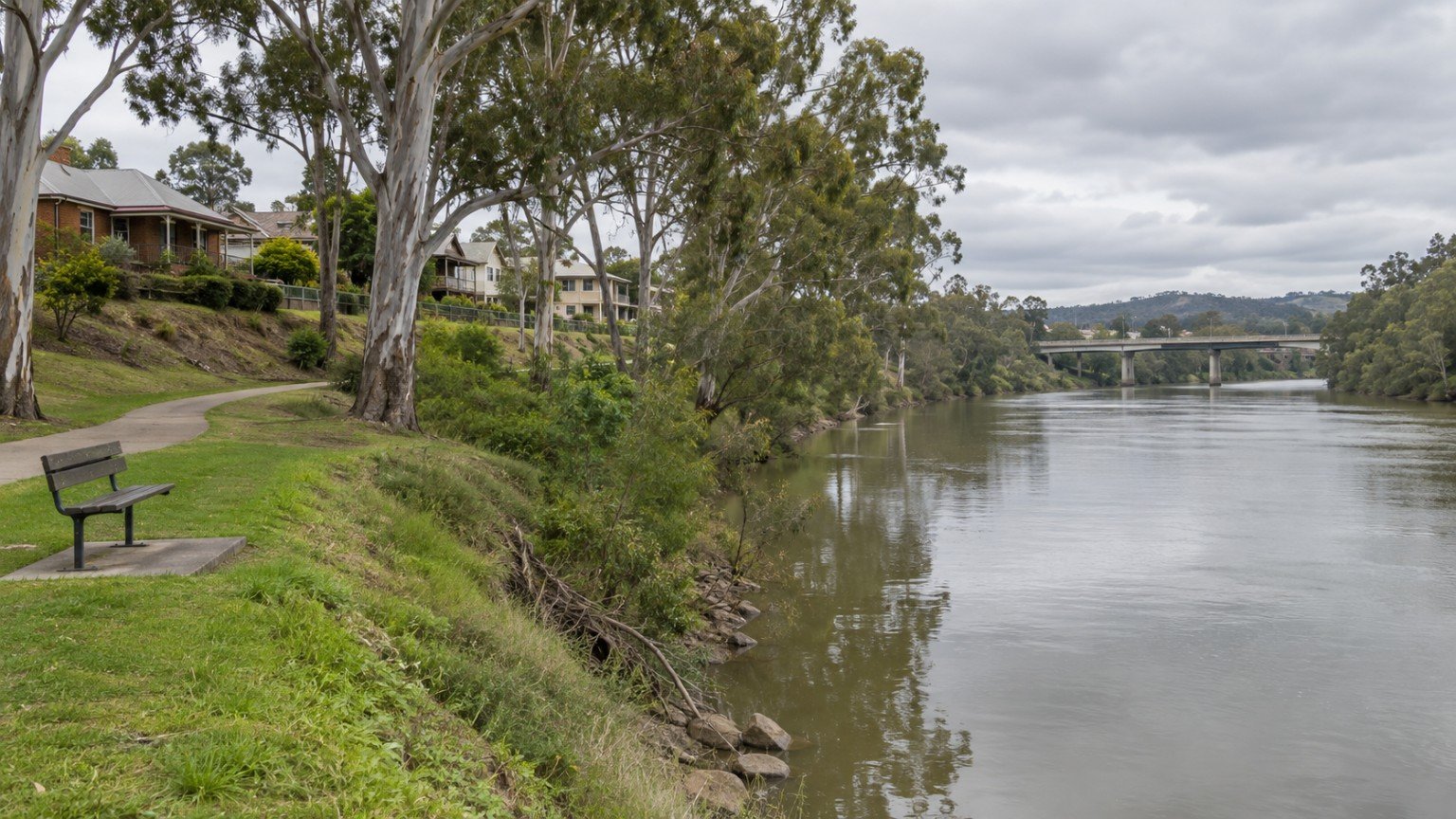
Narevella has published a full Ipswich suburb guide and a Moving to Ipswich article, but nothing that answers a question many buyers looking at central Ipswich will eventually ask: what is the flood history here, and where do I go to check a specific address? This article is current as at September 2026.
The Tool Correction Worth Making First
A very large share of Queensland flood content online is written with Brisbane in mind, and it names FloodWise as the tool to use. FloodWise is a Brisbane City Council product, and it does not cover Ipswich. If you are researching a central Ipswich property using FloodWise, you are checking the wrong tool for the wrong council area, and the result will not tell you what you need to know.
For an Ipswich address, the correct pathway is Ipswich City Council’s own Flood Studies and Flood Mapping resources, maintained as dedicated pages within the council’s waterways and floods section. This is not a lesser version of FloodWise, it is simply the correct, council-specific tool for this local government area, in the same way that other South East Queensland councils each run their own flood-checking process rather than sharing Brisbane’s.
The Bremer River’s Flood History
The Bremer River runs directly through central Ipswich and has a well-documented history of major flooding affecting the CBD, with significant events recorded in 1893, 1974, 2011 and 2022. That is four major events across roughly 130 years, with two of them in the last fifteen years alone.
The two most recent events give a concrete sense of scale on the Bremer River gauge: the January 2011 flood reached 19.40 metres, and the February 2022 flood reached 16.72 metres.
It is worth being precise about what a gauge height actually tells you. A river gauge reading is a measurement of the river’s level at a fixed point, not a statement about any individual address. Two properties at different elevations and different distances from the river can experience completely different outcomes during the same flood event. History like this tells you that central Ipswich is a flood-material area worth researching properly. It does not tell you anything about one specific property, which is exactly why the next section matters.
The Research Workflow for a Specific Address
Treat flood history as the reason to do the research, not as the research itself. For any central Ipswich property you are seriously considering, work through these steps:
- Run Ipswich City Council’s flood mapping for the exact address, rather than relying on a general sense of the suburb’s history.
- Look for a relevant flood study covering that catchment, if one exists, since these studies often carry more detail than the mapping alone.
- Check the planning scheme’s flood overlay for the property and actually read the overlay code that applies, not just note that an overlay exists.
- Ask for flood history in the seller’s disclosure material, and follow up directly if anything is unclear or missing.
- Test insurability before your conditions expire, not after settlement. This is arguably the single most consequential step for a flood-material property, because an uninsurable or very expensive-to-insure property can also become difficult to finance.
Central Ipswich Is Not Only About the Bremer
Central Ipswich sits in a confluence area, which means overland flow and local drainage behaviour deserve attention alongside main-river flooding. A property can be affected by water moving across the land during heavy rain even when it sits well clear of the river’s mapped flood extent, so treat drainage as a separate check rather than assuming that “not near the river” means “not a water risk.”
The CBD Context, Briefly
Central Ipswich has changed materially with the Nicholas Street Precinct revitalisation. The scope and detail of that change belongs to Narevella’s Ipswich Suburb Guide, which covers it directly; this article’s role is simply to note that the CBD you are researching today is not the CBD of a decade ago, and to point you to the guide for the fuller picture.
Part of a Deliberate Set
This article is the fourth in a set of geographically distinct flood-research pieces Narevella has built for South East Queensland: Brisbane’s FloodWise process, the Gold Coast’s canal estates and waterfront flood research, Redlands’ bayside flood and storm-tide research, and now central Ipswich’s Bremer River history. Each covers a different river or coastal system, a different council tool and a different event history, and each is written to stand on its own rather than repeat the others. If you are researching a property outside Ipswich, the sibling article for that area is a better starting point than this one.
No claim in this article is made about any specific Ipswich street, estate or address. Flood history at the suburb or CBD level is context for your research, not a substitute for it.
General Research Information Only
This article is general property research information for Queensland buyers and is not a flood risk assessment, insurance advice or a statement about any individual property. Flood mapping, planning overlays and insurance arrangements can change, and every fact above should be verified against Ipswich City Council’s current resources and directly with insurers before you rely on it in a purchase decision.
Useful Narevella Reading
To check a specific Ipswich property’s flood exposure and other due-diligence factors in one place, try Check My Property.
Related reading: Ipswich Suburb Guide, Moving to Ipswich, How to Read a Brisbane FloodWise Property Report, Canal Estates and Waterfront Flood Research on the Gold Coast, Redlands Bayside Flood and Storm Tide Research, Drainage, Stormwater and Overland Flow, Queensland Seller Disclosure, Understanding Flood, Bushfire and Other Property Overlays and Springfield Central, Ripley and Springfield Lakes.



Join The Discussion