
 by
by 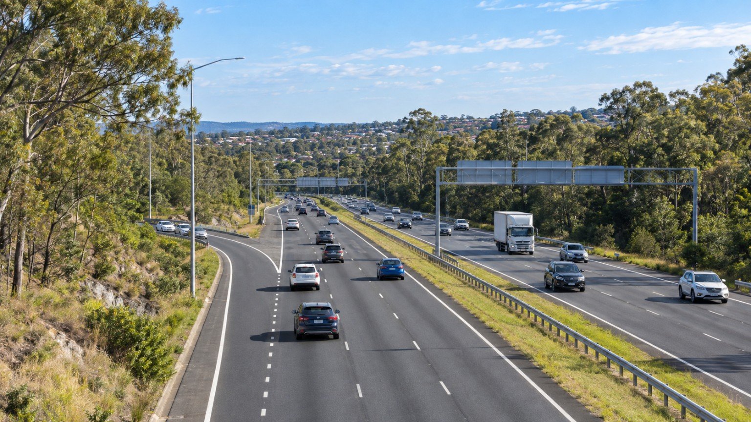
Located in the City of Logan, approximately 35 to 40 kilometres south-southwest of the Brisbane CBD, Greenbank is undergoing a steady transition from a semi-rural fringe locality into a rapidly developing residential suburb. As residential development expands, understanding the transport network and commuting dynamics is essential for property buyers, residents, and urban planning researchers analysing connectivity across South East Queensland.
Key Road Corridors and Vehicular Connections
Private vehicle travel remains the primary mode of transport for most residents in Greenbank due to the suburb’s layout and surrounding arterial structure. The local road network is defined by several key thoroughfares that facilitate movement within the suburb and connect outward to major regional motorways.
Major road corridors within Greenbank include:
- Springfield-Greenbank Arterial: Serves as a vital arterial link running west toward Springfield Central and nearby transport hubs.
- Pub Lane: Acts as a crucial local collector road supporting residential access and connectivity across the suburb.
- Middle Road: Provides east-west travel across northern sections of Greenbank, linking local traffic toward regional connectors.
- Greenbank Road: Offers supplementary suburban connectivity across central and southern areas.
For regional commutes, driver access to major highway corridors is straightforward via local links. Heading north or west, the Centenary Highway (M5) is accessible, offering direct driving routes northbound toward the Brisbane CBD and southbound toward Ipswich. To the east, access to the Logan Motorway (M2) is available via the Mount Lindesay Highway (A13). These connections allow commuters to navigate across the broader Brisbane and Logan employment corridors, though driving travel times remain subject to changing daily traffic conditions.
Rail Access and Park ‘n’ Ride Infrastructure
Greenbank does not feature an active passenger rail station within its suburban boundary. Consequently, rail-based public transit relies on multi-modal travel, combining a short drive or transfer with nearby heavy rail infrastructure.
The primary passenger rail hub serving Greenbank residents is Springfield Central Station, situated roughly 10 to 15 minutes by car from central Greenbank. Springfield Central Station provides multi-level Park ‘n’ Ride facilities, enabling commuters to park their vehicles securely before transferring to passenger rail services. From Springfield Central Station, train travel to Brisbane Central Station takes approximately 40 to 45 minutes, offering a structured mass transit option into the state capital’s commercial centre.
Bus Connectivity and Public Transport Network
Public transport within Greenbank is anchored by local bus services that link the suburb to adjacent commercial hubs. Translink Bus Route 535 operates within the area, connecting Greenbank directly to the Browns Plains bus station located at Grand Plaza Shopping Centre.
Public transport reliance necessitates transfers at Browns Plains for bus services or Springfield Central for train services, as local bus routes do not offer direct, single-seat journeys to the Brisbane CBD. Commuters utilising public transport must plan for multi-leg travel involving either a bus-to-bus transfer at Grand Plaza or a car-to-train connection via Springfield Central.
Infrastructure Upgrades and Network Development
To accommodate suburban growth and rising traffic volumes, transport infrastructure in and around Greenbank is receiving targeted investment from state and local authorities. The Department of Transport and Main Roads, alongside Logan City Council, is actively undertaking road and intersection upgrades throughout the region.
A notable initiative currently underway is the upgrade of the intersection at Springfield-Greenbank Arterial and School Road. This project aims to enhance intersection capacity, improve safety, and ease corridor congestion as Greenbank continues its residential development. Ongoing investments by state and local government entities highlight the strategic focus on aligning road capacity with population growth across Logan’s western suburban corridor.



Join The Discussion