
 by
by 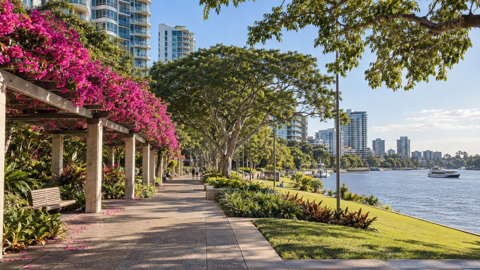
South Bank sits directly across the Brisbane River from the CBD, within the Brisbane City Council local government area. Part of the precinct also falls under South Bank Corporation, a separate state statutory body established under the South Bank Corporation Act 1989, so land here can sit under one of two distinct planning layers depending on the exact address. The area encompasses South Bank Parklands, the Queensland Cultural Centre (home to QAGOMA, QPAC, the State Library of Queensland and the Queensland Museum), Griffith University’s South Bank campus, and the surrounding South Brisbane residential and mixed-use area.
Housing and Population
2021 Census data for the broader South Brisbane suburb boundary (SAL32587) records 14,292 residents, with an average household size of 1.9, genuinely light on traditional low-density housing. This reflects an apartment-majority profile consistent with a transit-oriented, mixed-use neighbourhood plan area. Note that this figure covers the wider South Brisbane suburb boundary, not South Bank Parklands specifically, so it is best read as a general indicator rather than a precise measure of the parklands precinct itself.
Transport
South Bank railway station, serving the Beenleigh, Cleveland and Gold Coast lines, and South Bank busway station both sit within the precinct, giving it a genuinely strong dual heavy-rail and busway node. CityCat ferry terminals also serve the area. South Bank does not have its own Cross River Rail station, but it sits close to two Cross River Rail stations currently under construction, Boggo Road and Woolloongabba. For the wider timeline on what changes once that project is complete, see Narevella’s Cross River Rail completion guide rather than relying on a restated summary here.
Schools
No dedicated state primary or secondary school sits within South Bank or South Brisbane itself. Brisbane South State Secondary College, at Dutton Park, is the nearest new state secondary capacity for Brisbane’s inner south, a purpose-built vertical school for more than 1,600 students. Its exact catchment relationship to South Brisbane addresses has not been verified for this guide. Being in a general catchment area does not guarantee enrolment at a specific school, so anyone buying with schooling in mind should verify the exact catchment for their address using the Queensland Government’s EdMap tool before assuming access to any particular school.
Health
There is no hospital within South Bank itself. Princess Alexandra Hospital, at Woolloongabba and Buranda, and the wider Boggo Road health and science precinct are the nearest major public health assets.
Shopping and Amenities
South Bank Parklands is the area’s defining amenity, with dining, markets and open space, alongside the Grey Street dining and hospitality strip, the Little Stanley Street precinct, and the cultural venues of the Queensland Cultural Centre. This is a genuinely amenity-rich precinct, but its character is tourism and cultural-precinct oriented rather than that of a traditional suburban retail centre, and buyers should weigh that distinction against their own lifestyle expectations.
Parks and Open Space
South Bank Parklands is the standout open-space asset, including Streets Beach, Australia’s only inner-city artificial beach lagoon. A Future South Bank Master Plan has reportedly been developed by South Bank Corporation and the Queensland Government following extensive community consultation. Its current implementation and funding status has not been verified for this guide, so it is presented here as a plan that has been through consultation, not as a project currently under construction.
Planning and Development
South Bank has a genuinely distinctive dual planning-layer structure. The South Brisbane Riverside Neighbourhood Plan, part of City Plan 2014, governs land outside South Bank Corporation’s own holding, while land held by the Corporation sits under separate state-level planning powers. Any buyer needs to confirm which layer governs their specific lot, since the assessment pathway for development or renovation can differ materially between the two.
Flood Risk and Hazard Research
South Bank is a riverside precinct sitting directly on the Brisbane River, so flood research here matters. The official Brisbane City Council FloodWise Property Report and Flood Awareness Map are the correct address-specific tools to check, and this applies even to upper-floor apartments, given shared building services and basement parking can be affected regardless of floor level. South Bank Parklands has a well-documented history of river-flood inundation and recovery, including the 2011 and 2022 Brisbane floods. This history should be read as general context only, never as a property-specific claim, and every buyer should check the official council flood tool for their specific address rather than relying on the precinct’s general flood history.
Family Considerations
Given the very low average household size and the absence of a dedicated state school within the precinct, South Bank is genuinely not a conventional family-suburb candidate. It suits investor and unit buyers, downsizers, and lifestyle buyers drawn to the cultural and riverside amenity far more than family upgraders looking for detached housing and nearby schooling. Buyers should be honest with themselves about this profile rather than forcing a family-suburb framing onto the area.
Buyer Considerations
Confirm which planning layer, the standard neighbourhood plan or South Bank Corporation land, governs the specific lot before relying on any development or renovation assumption. Run a FloodWise Property Report given the riverside exposure. Check body corporate records and sinking-fund health for any strata purchase, since the stock here is apartment-dominant; Narevella’s body corporate checks guide covers what to look for. Confirm the current Future South Bank Master Plan implementation status directly with South Bank Corporation before citing any specific redevelopment claim as already underway.
Nearby Comparisons
Buyers considering South Bank often also look at West End, its neighbouring riverside suburb, or New Farm across the river, both of which offer a different mix of amenity and housing stock while sharing South Bank’s inner-city, transit-oriented character. Kangaroo Point and the CBD itself, both across the river, are worth comparing on transport and lifestyle grounds as well.
Practical Research Checklist
- Confirm which planning layer, standard neighbourhood plan or South Bank Corporation land, applies to the specific lot.
- Run a FloodWise Property Report for the exact address.
- Check body corporate records and sinking-fund health for any strata purchase.
- Verify Brisbane South State Secondary College’s catchment relevance to the address via EdMap if schooling matters to your decision.
This article is general property research information only, and is not financial, legal or valuation advice. Suburb boundaries, planning provisions, flood mapping and master plan status can change, so always verify current details with Brisbane City Council, South Bank Corporation or a licensed professional before making a purchasing decision.
Useful Narevella Reading
- Compare Suburbs
- Find Property For Me
- Queensland Property Research Checklist
- Check My Property
- Brisbane Area Guide, for wider context on the Brisbane City Council area.



Join The Discussion