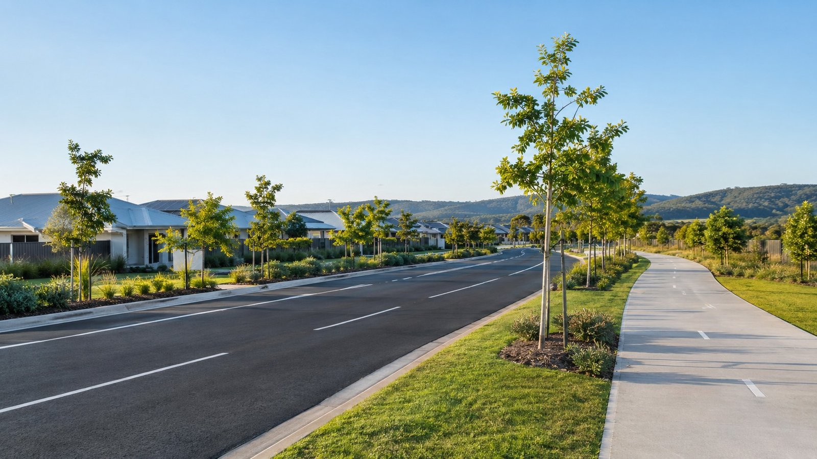
An analysis of road connectivity, bus services, and planned rail infrastructure upgrades shaping commute options for Logan Reserve residents.
-
 by Anasta Snowla
- 1 month ago
- Areas & Suburbs
- 0

An analysis of road connectivity, bus services, and planned rail infrastructure upgrades shaping commute options for Logan Reserve residents.
by Anasta Snowla
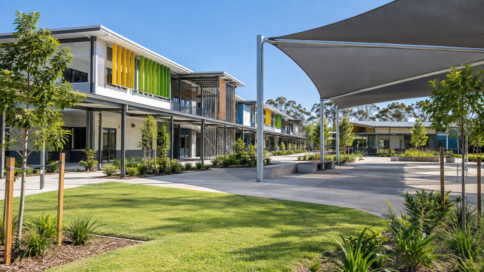
An overview of local educational infrastructure in Logan Reserve, covering early learning centers, primary schooling, high school catchments, and non-government options.
by Anasta Snowla
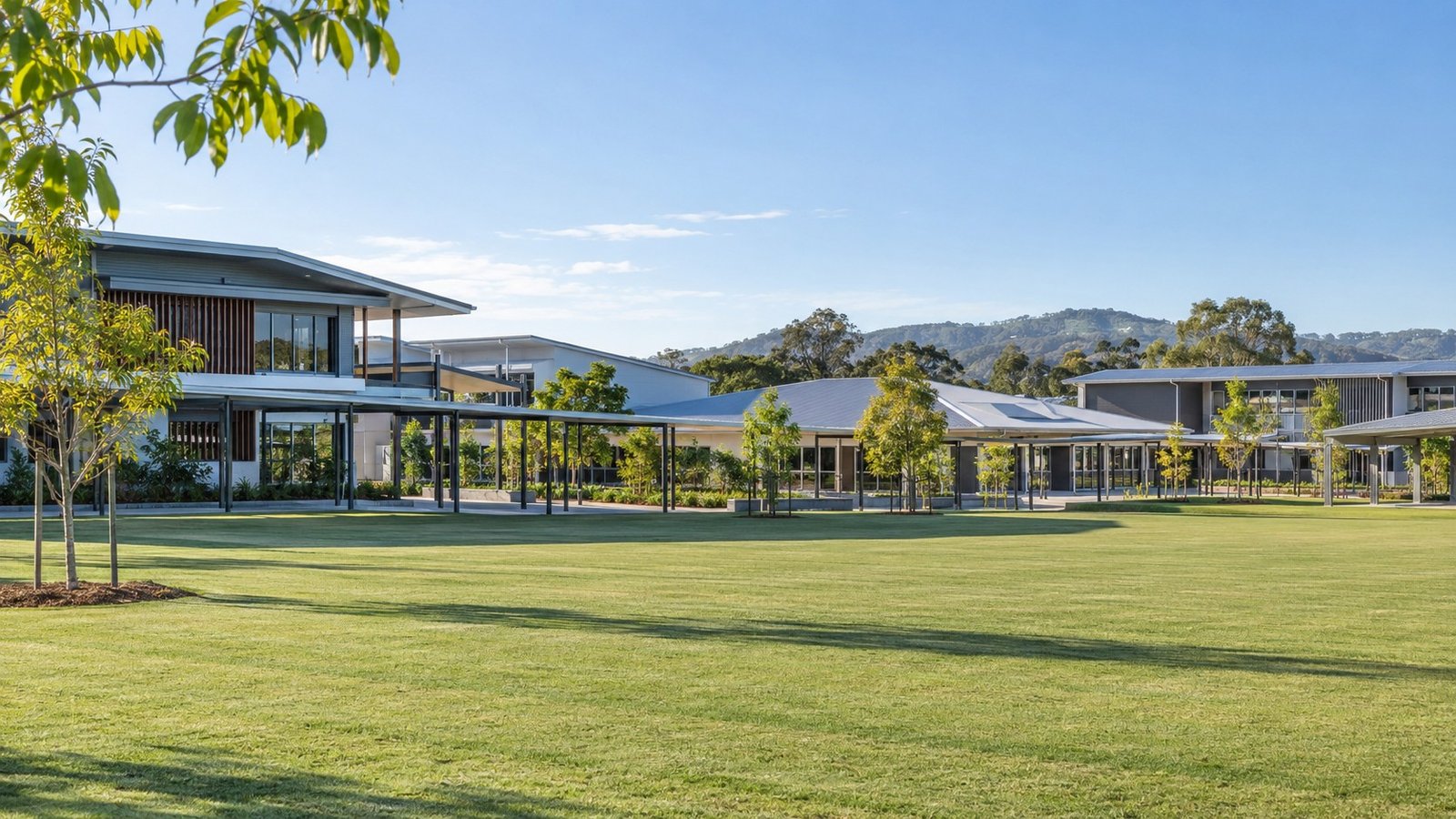
An overview of Yarrabilba's educational infrastructure, covering public and Catholic primary and high schools, early learning centers, and long-term master plan commitments.
by Anasta Snowla
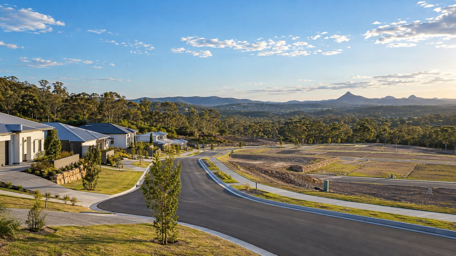
An analysis of Park Ridge's transition from semi-rural land to a master-planned urban growth corridor, covering key residential estates, planning schemes, and infrastructure connectivity.
by Anasta Snowla
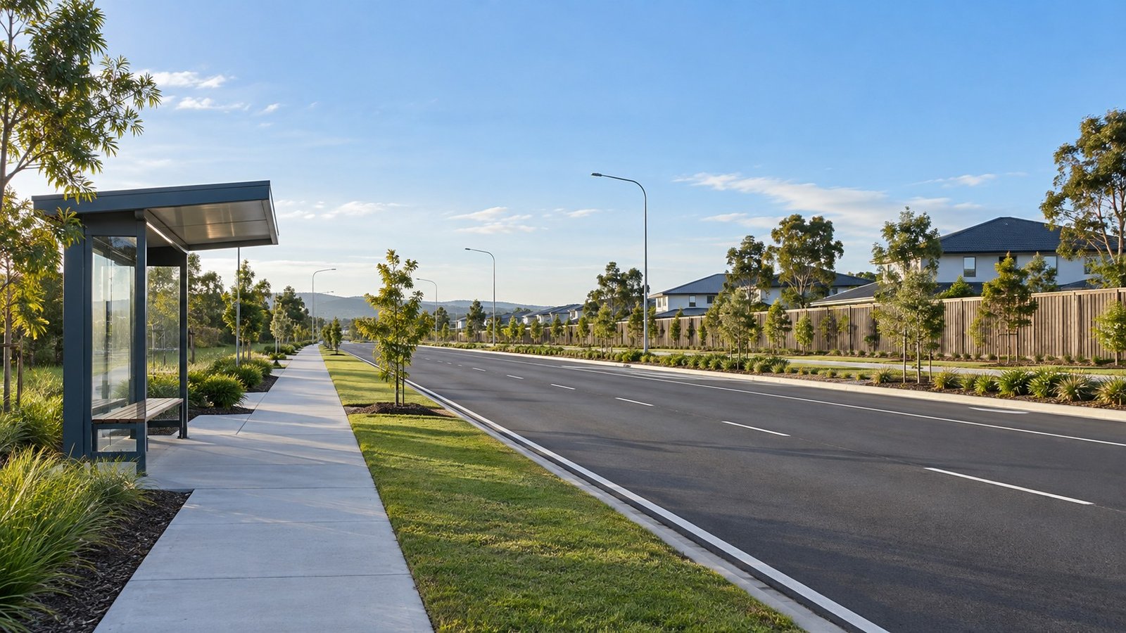
A detailed breakdown of transport options in Park Ridge, Logan City, covering Mount Lindesay Highway connections, the Crest Road Park 'n' Ride bus hub, and nearby rail access.
by Anasta Snowla
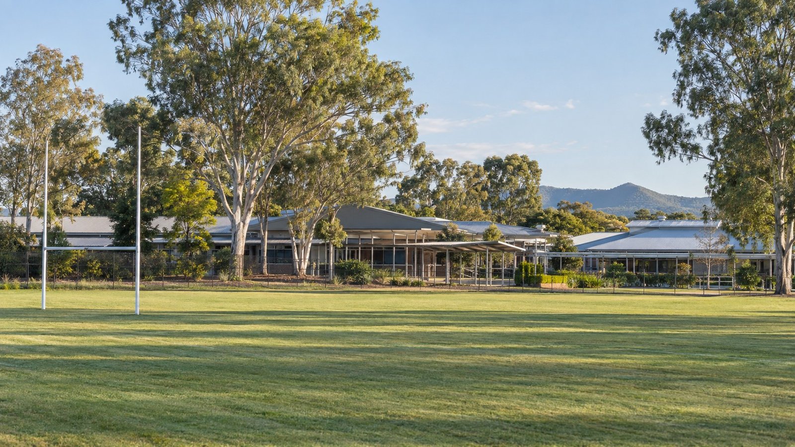
An overview of local schooling in Park Ridge, covering government state schools and independent primary and secondary options.
by Anasta Snowla
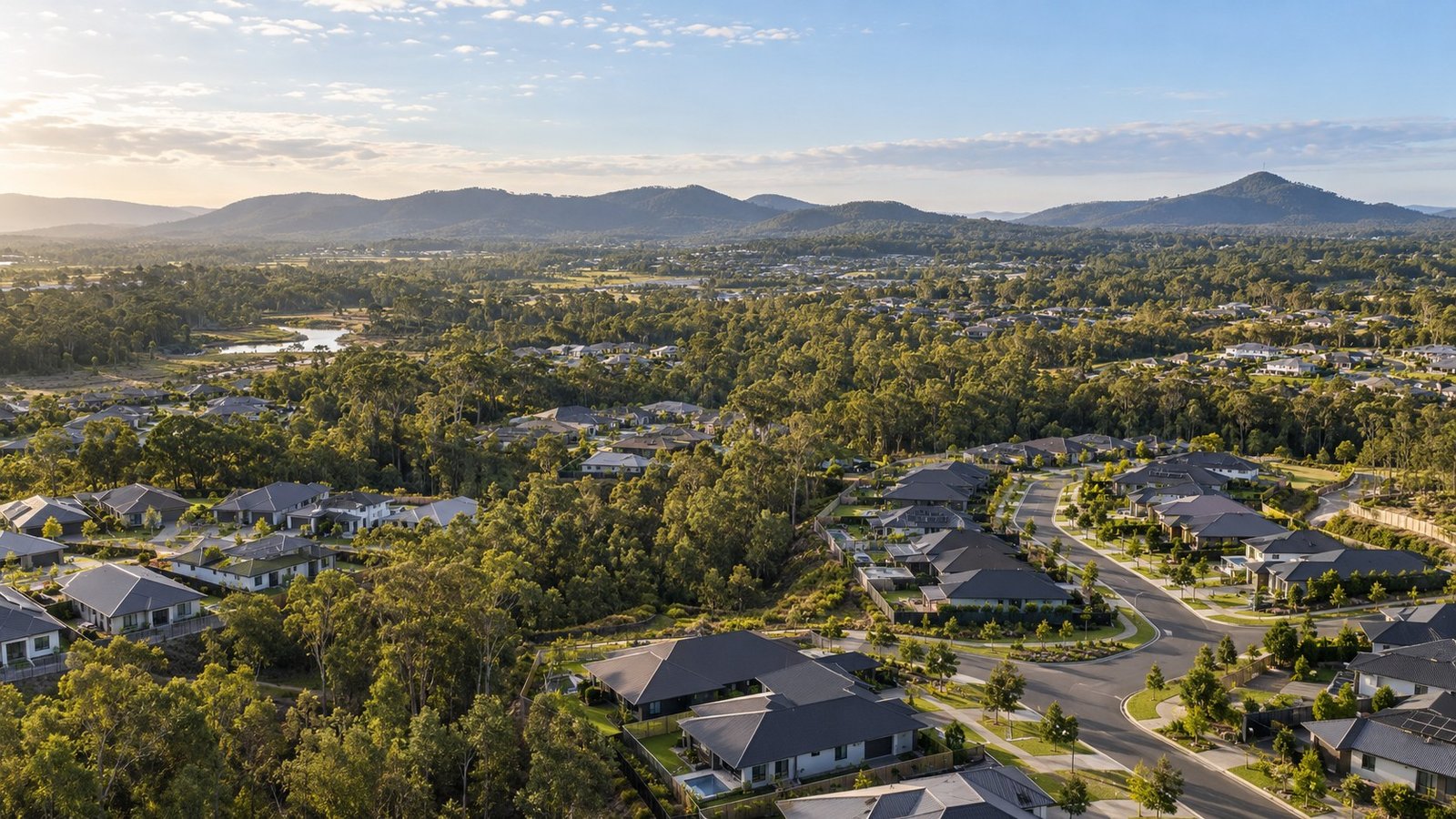
An analysis of Flagstone's 2021 Census baseline, Peet Limited's master planning, and the Greater Flagstone PDA framework projected for 120,000 residents.
by Anasta Snowla
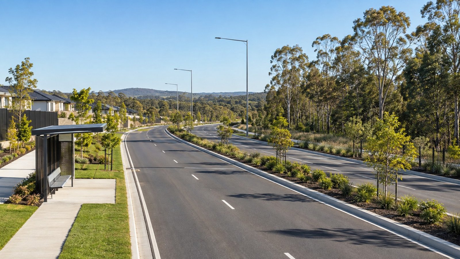
An analysis of current road networks, Translink bus connections, Logan City Council road upgrades, and long-term rail corridor preservation in Flagstone.
by Anasta Snowla
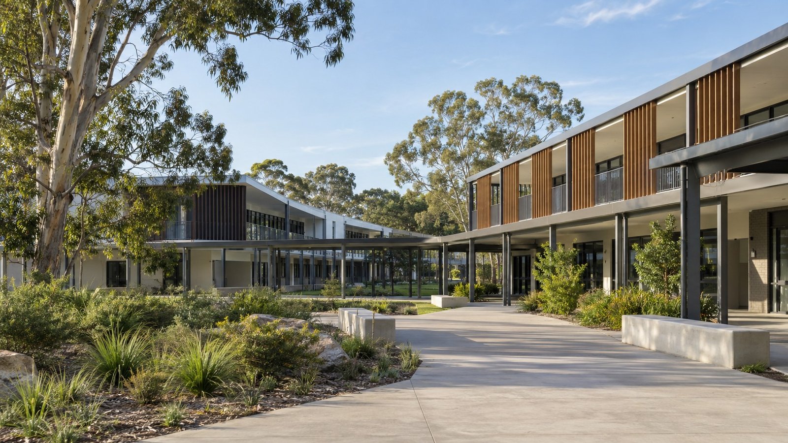
An overview of existing public schools, early learning facilities, nearby private options in Jimboomba, and future school sites planned for Flagstone.
by Anasta Snowla
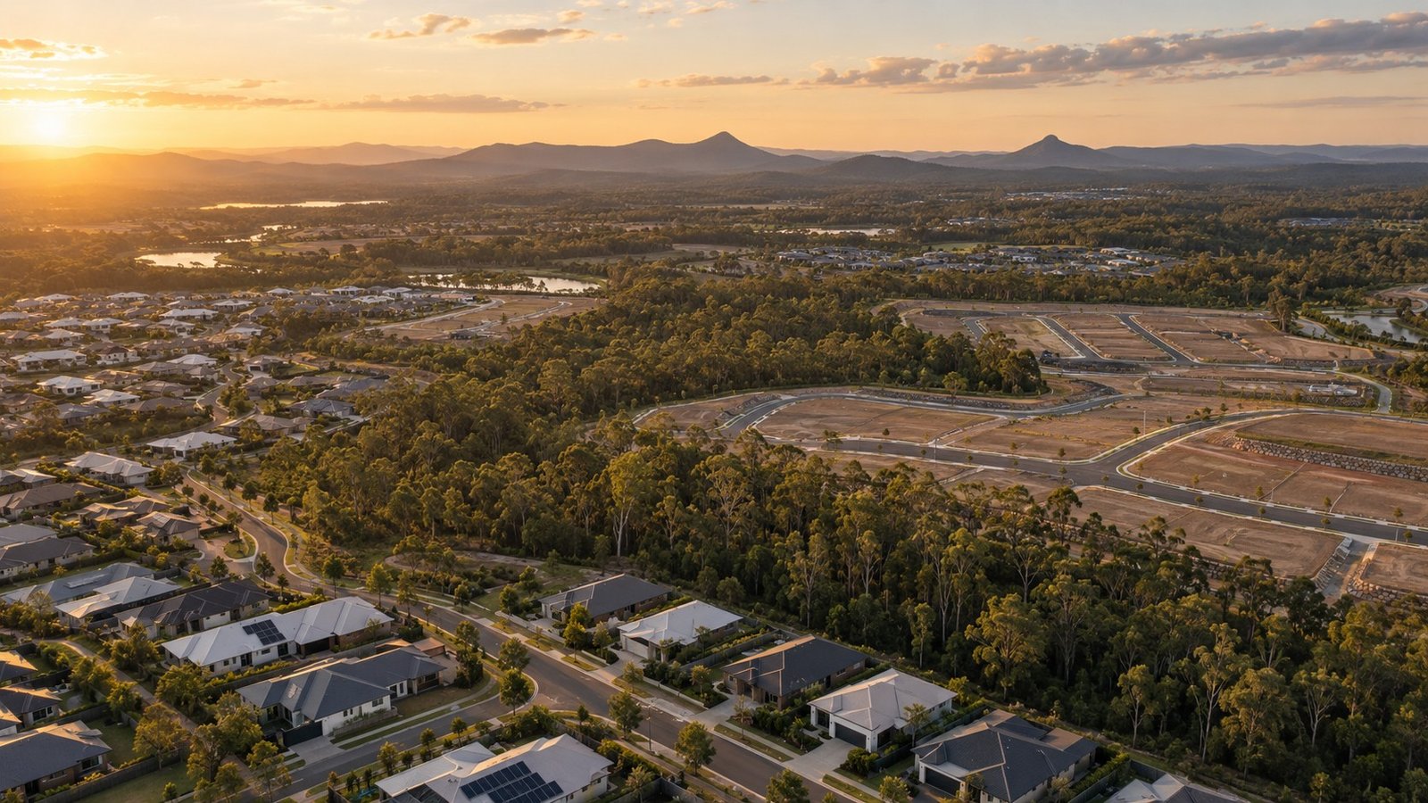
An analysis of Yarrabilba's master-planned expansion, tracking its evolution from a 2,200-hectare greenfield site to a major Priority Development Area targeting 50,000 residents.
by Anasta Snowla
Compare listings
Compare