
 by
by 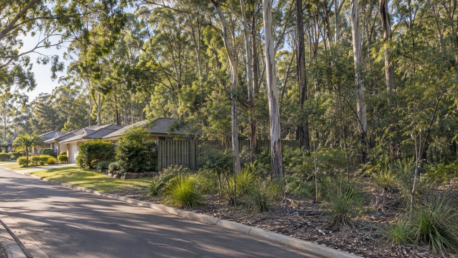
Buyers researching a property routinely check for flood and bushfire overlays, but a different overlay layer is just as capable of restricting what can be built, and it gets far less attention: vegetation and habitat protection. A protected tree or a mapped habitat area can restrict where a house, pool, shed, driveway or extension is allowed to go, and it can quietly turn a “big backyard” into a largely unusable one. This is especially relevant across the LGAs Narevella covers most heavily — Redlands, Logan, Moreton Bay, the Gold Coast hinterland and Brisbane’s leafier established suburbs.
Three Layers That Stack
Vegetation and habitat protection in Queensland operates across three levels, and a buyer needs to check all three, not just one.
- Local council. Planning-scheme vegetation, biodiversity or significant-tree overlays, plus separate local laws that protect individual trees on private land in some council areas.
- Queensland state. A state-level vegetation management framework, and for koala habitat specifically, state-level koala habitat mapping and clearing controls across South East Queensland.
- Commonwealth. National environmental law can apply where a matter of national environmental significance is involved, and the koala is a listed species across Queensland, New South Wales and the ACT.
This three-tier structure is the correct framework to understand. The specific instrument names, current mapping products and clearing thresholds change and vary by council, so this article will not name a specific current map product — instead, go to your council’s planning-scheme property report and the Queensland Government’s mapping tools by function, and search for what is currently in force for the address.
What to Actually Check
Obtain the council planning-scheme property report for the address and read every overlay listed, not just the flood overlay. Ask specifically whether any vegetation, biodiversity or koala habitat overlay applies. If you are planning any works, ask the council directly whether a permit is required to remove or lop a tree on the lot before you assume you can. Also check whether the property sits near a council-managed reserve or bushland corridor, since buffer requirements and edge-effect controls can apply even where the lot itself is not directly mapped.
Narevella’s general overlays guides are the right starting point for understanding how overlays work before you dig into vegetation specifically: Zoning and Property Overlays in Queensland: What Buyers Should Check Before Buying, Understanding Flood, Bushfire and Other Property Overlays and How to Check Property Zoning in Queensland.
Vegetation Controls Versus Bushfire Risk
Vegetation protection and bushfire risk are related but separate research questions. Dense, protected vegetation near a dwelling can itself be a bushfire consideration, so if a property carries both a vegetation overlay and sits in a bushfire-prone area, treat them as two checks rather than assuming one covers the other. Narevella’s bushfire article covers that side in detail: Bushfire Risk and Property Buying in Queensland. Acreage and semi-rural buyers in particular tend to encounter both layers together, and Narevella’s acreage guide is a useful companion: Buying Acreage or Semi-Rural Property in Queensland: What Buyers Should Check.
Where Vegetation Rules Meet Neighbour Law
It is genuinely useful to understand that vegetation controls and the private neighbour law covering dividing fences and overhanging trees are two different legal systems. A neighbour’s overhanging branch is normally a private, neighbour-to-neighbour matter. A mapped protected tree or vegetation area is a public planning matter, and critically, the standard neighbour notice process available for overhanging branches cannot be used where a vegetation or tree protection order applies to that tree. If you are researching a boundary tree issue, checking whether any protection order applies should come before assuming the usual neighbour process will resolve it.
It Is Not a Reason to Walk Away
Vegetation overlays are not, on their own, a reason to avoid a property. They are a reason to check the buildable envelope of the lot before you assume a future extension, pool or shed is possible. If you already have development plans in mind, it is worth checking whether any nearby applications give a sense of how the council is currently interpreting the overlay in that area: Nearby Development and Planning Applications: What Buyers Should Check Before Purchasing.
This article provides general research information only and is not planning, environmental or legal advice. Vegetation, habitat and tree-protection controls are specific to the address, council and current state and Commonwealth mapping, and buyers should confirm the current position directly with the relevant council and, where relevant, a qualified town planner before relying on it.
Useful Narevella Reading
To have the overlays for a specific address checked and pulled together in one place, start with Check My Property.


Join The Discussion