
 by
by 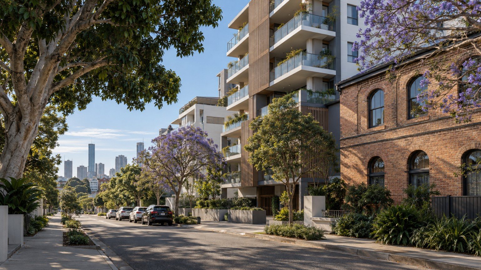
Fortitude Valley is Brisbane’s inner-north entertainment, retail and mixed-use precinct, sitting immediately against the CBD and centred on Fortitude Valley railway station and the Brunswick Street, Ann Street and Wickham Street grid. It is a genuinely different kind of Narevella guide, because this is a dense, apartment-dominant precinct rather than a suburban house-and-yard suburb, so the research priorities here shift toward strata and building diligence rather than the usual family-home checklist.
Population and Housing
Fortitude Valley sits within Brisbane City Council’s Central Ward. At the 2021 Census, the suburb recorded a population of 9,708, with a median age of 31 and an average household size of just 1.6. That household size tells you most of what you need to know: this is an apartment and unit-dominant precinct given its inner-city mixed-use zoning, not a suburb of detached family homes. If you are researching a purchase here, budget real time for body corporate and strata diligence on any specific building, rather than assuming the sort of checks that apply to a standalone house.
Transport
Fortitude Valley railway station sits at the centre of the precinct, with multiple Queensland Rail lines converging through it. Brisbane Metro and CityGlider bus routes run along the nearby Ann Street and Adelaide Street corridors. This is one of Brisbane’s most walkable CBD-fringe locations, and that walkability is a genuine part of the suburb’s appeal.
Schools
The standout, worth-leading-with fact for this suburb is Fortitude Valley State Secondary College, Brisbane’s first new inner-city high school in more than 50 years. It opened in 2020 on the former Fortitude Valley State School site as a purpose-built, multi-storey “vertical school” designed specifically for a dense inner-city footprint, growing from its first Year 7 intake toward a stated eventual capacity of around 1,500 students across a full Year 7 to 12 cohort. The nearest state primary options sit in neighbouring New Farm and Spring Hill. As always, verify the specific catchment for any address using the official Queensland Government EdMap tool (qgso.qld.gov.au/maps/edmap), and remember that being in a catchment never guarantees a place.
Health
There is no hospital within Fortitude Valley itself. The Royal Brisbane and Women’s Hospital and the broader Herston health precinct are the nearest major public facilities, a short distance north of the suburb.
Shopping and Everyday Life
Few Brisbane suburbs pack in as much hospitality and retail as Fortitude Valley. The James Street precinct covers fashion, design and dining, Chinatown Mall and Brunswick Street Mall anchor the suburb’s food and nightlife scene, the heritage McWhirters building adds a retail and dining drawcard, and a cinema complex rounds out the entertainment offering. This has long been Brisbane’s premier live-music and nightlife district, and that character remains central to the suburb today.
Parks and Local Life
Traditional green space within the precinct itself is limited, which is typical of a dense inner-city mixed-use area. New Farm Park and the Brisbane River parkland corridor are a short walk or bus ride away, and most residents rely on these nearby options rather than local parkland within the Valley itself.
Planning and Development
This is the dominant, genuinely current story for Fortitude Valley right now. Brisbane City Council has an active Fortitude Valley Sustainable Growth Precinct Plan project underway, explicitly framed around the opportunity presented by the Brisbane 2032 Olympic and Paralympic Games, covering land around the train station and sections of Wickham, Ann and Brunswick streets. Current building heights in the precinct already range from around 8 storeys in some areas up to 20 to 30 storeys in others, particularly the Valley Gateway and Valley Heart precincts, and the draft plan’s stated direction is further height increases in some locations under a “growing up, not out” framing.
As of the most recent information available, the draft precinct plan was due for community feedback release in late 2026, with review and finalisation expected through 2026 and 2027, and formal Council and Queensland Government approval expected in 2027. This is still a plan in draft and consultation, not yet adopted into the City Plan. Check the current status directly with Brisbane City Council before assuming any specific height or density outcome applies to a property today.
Flood and Property Due Diligence
Fortitude Valley sits at a somewhat elevated, inner-city position relative to riverside suburbs such as New Farm and West End, but that is not a reason to skip a proper check. For any specific address, use Brisbane City Council’s official Flood Awareness Map or request a FloodWise Property Report before drawing any conclusions.
Nearby Suburbs Worth Comparing
Both New Farm and West End already have full Narevella guides and are worth comparing if you want an inner-Brisbane feel with more traditional parkland and lower density. Bowen Hills, Newstead and Spring Hill are also useful comparison points if you want to stay close to the CBD fringe.
Useful Narevella Reading
Our Compare Suburbs tool is a useful next step if you are weighing Fortitude Valley against a more traditional inner-Brisbane suburb.
For wider context on the Brisbane City Council area, including nearby suburbs and how they compare, see our Brisbane Area Guide.
This guide is general research information only, and is not financial or legal advice. Always verify school catchments, flood risk and planning provisions directly with the relevant official source for the specific address you are considering.



Join The Discussion