
 by
by 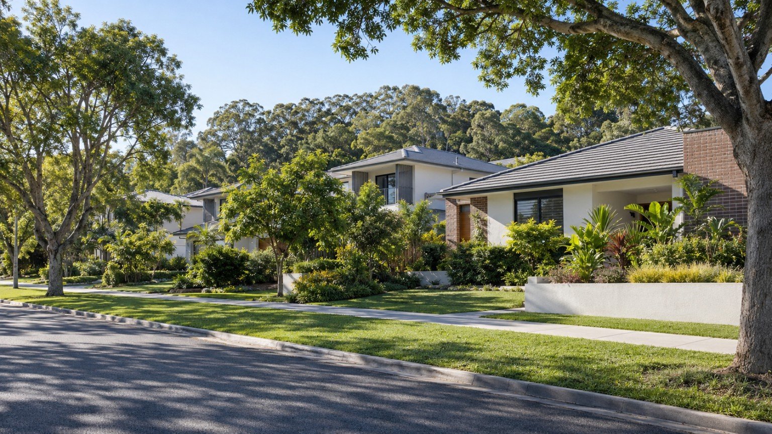
Rochedale is a fast-growing outer south-eastern Brisbane suburb, and it is easy to confuse with its similarly named neighbour, Rochedale South. This guide covers Rochedale itself, which sits in the Brisbane City Council area (postcode 4123, north of Priestdale Road), not Rochedale South, which is a separate suburb under Logan City Council. If you are researching this area, get the two sorted first, because school catchments, council services and planning rules for one do not apply to the other.
Population and Housing
Rochedale sits about 17 to 19km south-east of the Brisbane CBD, bordered by Mansfield, Mackenzie, Burbank, Wishart, Eight Mile Plains, Underwood, Rochedale South and Priestdale. It is a genuine newer-estate, master-planned growth suburb. At the 2021 Census, Rochedale recorded a population of 7,633, up from 3,175 in 2016 and just 1,092 in 2011, a roughly sevenfold increase across that decade. Median age at the 2021 Census was 33. Given how quickly the suburb has been building out, that 2021 figure is likely understated for today, though we would not want to guess at a current number without a proper source.
Housing in Rochedale is strongly detached-house-dominant, with around 92 percent of dwellings being separate houses and very little apartment stock. That is consistent with a low to medium-density greenfield estate still in the process of being built out.
Transport
The nearest established South East Busway station is Eight Mile Plains. A Rochedale busway station has been reported as completed and opened in 2025, extending the busway into Rochedale itself, and a Brisbane Metro electric bus depot is also sited in the suburb. Treat these as reported developments rather than confirmed against a primary TMR or Translink source, and check Translink directly for current service details before relying on them. The Gateway Motorway is accessible nearby via the Eight Mile Plains and Underwood interchange, which is useful for anyone commuting further afield.
Schools
Rochedale State School (public primary, established 1931) and Rochedale State High School (public secondary, opened 1983) are the government options in the suburb. St Peter’s Primary School (Catholic) and Redeemer Lutheran College (independent) are also based locally. Whatever school you have in mind, always verify the specific catchment for an address using the official Queensland Government EdMap tool (qgso.qld.gov.au/maps/edmap), and keep in mind that being within a catchment never guarantees a place.
Health
There is no hospital located in Rochedale itself. If proximity to a public hospital matters to your decision, confirm your nearest Metro South Health facility directly rather than assuming one applies.
Shopping and Everyday Life
We could not confirm a major shopping centre within Rochedale itself from an official source, so we are not going to state one as fact. What is well established is that neighbouring suburbs, including Wishart, Upper Mount Gravatt, Coopers Plains and Sunnybank, have significant retail precincts and are all a short drive away, each with their own Narevella suburb guide if you want to look further.
Parks and Local Life
Rochedale’s local amenity base is still building out alongside its housing. Confirmed local assets are limited, and include a Scout Den recreation site and a heritage-listed site known as Native Fern Gardens on Miles Platting Road. This is honestly a suburb still developing its everyday local infrastructure, rather than one with an established parks and recreation network, and that is worth factoring into your expectations if you are used to more established suburbs.
Planning and Development
Rochedale’s standout story is planning, and it is a largely settled one. Rochedale has never held a state-declared Priority Development Area or Urban Development Area, a finding checked directly against the current Economic Development Queensland PDA register and the complete historical list of every UDA ever declared. Instead, Rochedale’s growth has proceeded under standard Brisbane City Plan provisions via a dedicated local document, the Rochedale urban community neighbourhood plan, part of Brisbane City Plan 2014’s suite of local plans. It frames Rochedale as an integrated, master-planned urban community intended to develop across several distinct neighbourhoods, each with its own residential, commercial, industrial, community and educational uses and its own neighbourhood centre.
One genuinely distinctive environmental planning fact worth knowing: land within Rochedale is mapped as an Urban Koala Area under Brisbane’s Koala Plan, meaning development here must meet specific koala-conservation requirements alongside the usual planning rules. Because the neighbourhood plan document reviewed for this guide was an older-dated version, we are not going to quote specific current precinct boundaries or koala-overlay requirements as settled fact. Check the current version directly via Brisbane City Council’s City Plan Online (cityplan.brisbane.qld.gov.au) for what actually applies to a specific address today.
As general context rather than a specific risk claim, a former landfill site with a landfill-gas-to-energy facility has operated near the suburb since around the 1990s or 2000s. This is worth knowing calmly as one of several things to ask about if you are researching an address near that site, not a reason for alarm on its own.
Flood and Property Due Diligence
We are not making any suburb-wide flood claim for Rochedale. For any specific address, check Brisbane City Council’s official Flood Awareness Map or request a FloodWise Property Report before you rely on anything else you read about flood risk in the area.
Nearby Suburbs Worth Comparing
Rochedale directly adjoins Eight Mile Plains and Wishart, both worth a look if you want an established alternative in the same corridor. Upper Mount Gravatt, Coopers Plains, Calamvale, Runcorn and Sunnybank are also useful comparison points along the same southside stretch, particularly if retail and amenity access matter more to you than a newer estate.
Useful Narevella Reading
If you are comparing Rochedale against other suburbs in this corridor, our Compare Suburbs tool is a good next step for lining up the practical differences side by side.
This guide is general research information only, and is not financial or legal advice. Always verify school catchments, flood risk and planning provisions directly with the relevant official source for the specific address you are considering.



Join The Discussion