
 by
by 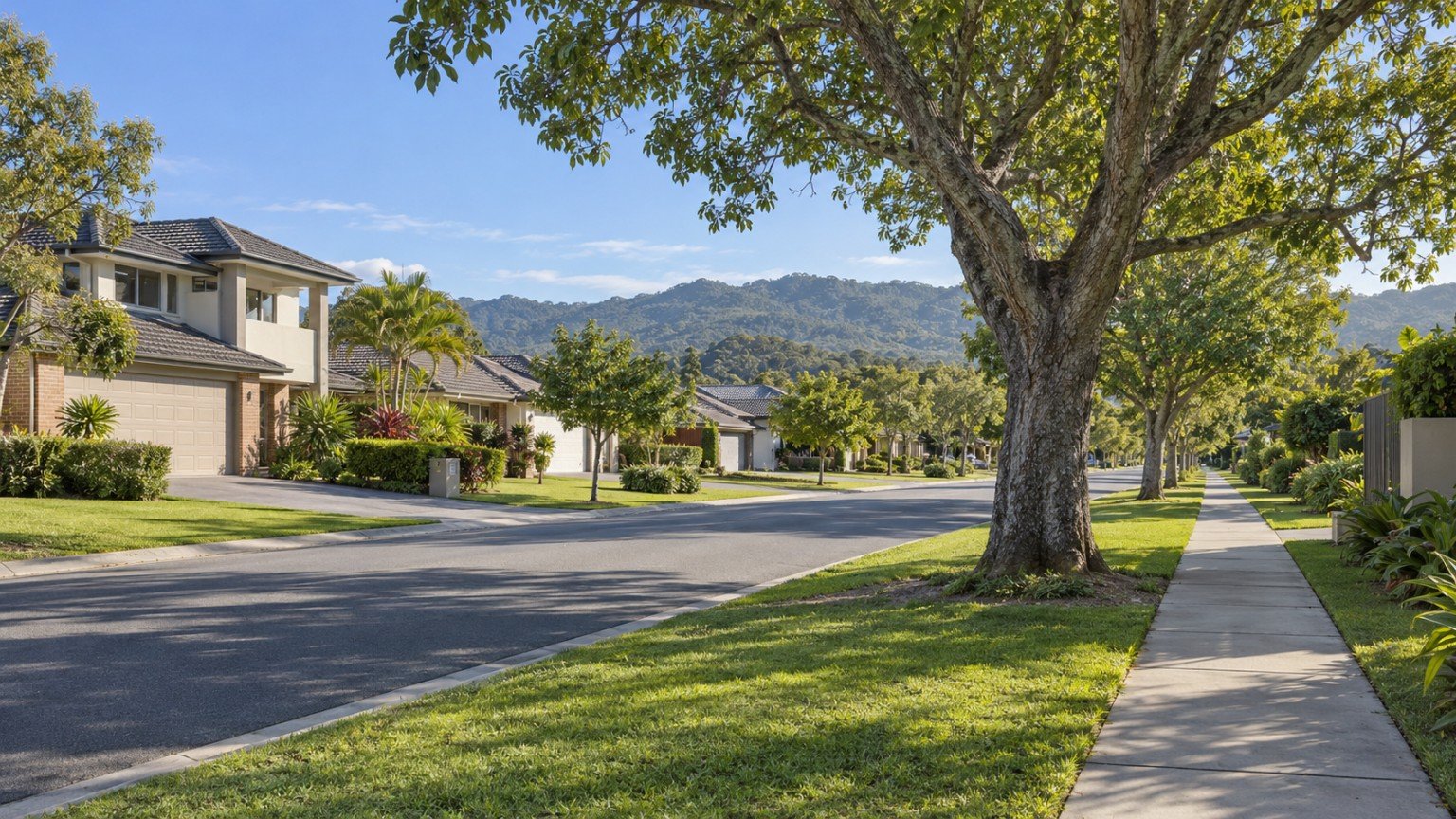
Helensvale sits inland on the northern Gold Coast, within the City of Gold Coast’s Division 2, roughly 62 kilometres south of Brisbane and straddling the M1 Pacific Motorway. Unlike many of the suburbs that define the Gold Coast’s public image, Helensvale is not a beach suburb. Its identity is built around a very different asset: it is one of the few places in South East Queensland where heavy rail and light rail meet at the same station.
The suburb adjoins Oxenford, Hope Island, Coombabah and Parkwood, and sits close to Pacific Pines. This location, combined with its transport role, has made Helensvale a genuine activity and transit hub for the northern Gold Coast rather than a purely residential pocket.
Housing in Helensvale: What the Census Shows
According to the 2021 Census (SAL31315), Helensvale had a population of 18,949 residents, with an average household size of 2.8. The housing stock is overwhelmingly detached: separate houses account for 81.3% of dwellings, townhouses 14.4%, and apartments 4.0%. This makes Helensvale a predominantly family-house suburb, with attached dwellings concentrated mainly around the town centre.
Transport: Helensvale’s Defining Feature
Helensvale railway station, on the Queensland Rail Gold Coast line, opened in 1997 as a purpose-built heavy-rail and interchange station, complete with a 400-space station car park. Since the December 2017 completion of G:link Stage 2, it has also served as the northern terminus of the Gold Coast light rail network. Following the Stage 3 works that extended the network further south, G:link now runs from Helensvale through to Burleigh Heads across 27 stations.
One clarification worth making directly: there is currently no funded or announced G:link extension north of Helensvale. A “Stage 4” extension that was cancelled in 2025 related to a proposed southern extension between Burleigh and Coolangatta, not a northern one. On the information available, Helensvale is expected to remain the network’s northern terminus for the foreseeable future.
Buyers weighing up a genuine commute, whether to the Gold Coast light rail corridor or further afield, should confirm real travel times for their specific destination using Translink’s journey planner rather than relying on a general impression of “well connected.”
Schools Near Helensvale
Helensvale State School and Helensvale State High School (with roughly 2,010 students and selective Academy programs) both serve the area and operate as Enrolment Management Plan (EMP) schools with an equidistant catchment. It is important to understand what that means in practice: being located within a school’s general catchment area does not guarantee a place. Any buyer for whom schooling is a priority should verify the current catchment boundary and enrolment position for the exact address using the Queensland Department of Education’s EdMap tool before treating school access as settled.
Health Services
There is no hospital within Helensvale itself. Gold Coast University Hospital in Southport is the nearest major public facility, and it is directly reachable via the same light-rail line that runs through Helensvale station, which is a genuine practical advantage for residents without a car.
Shopping and Amenities
Westfield Helensvale, which opened in 2005, was the first Westfield centre built on the Gold Coast and remains the suburb’s major retail anchor. Store counts for large shopping centres change over time as tenancies turn over, so any figure quoted for the current number of stores should be treated as indicative only. Buyers or residents who want an accurate current picture should check the centre’s own directory before relying on a specific number.
Parks and Open Space: Coombabah Lakelands
The Coombabah Lakelands Conservation Area is Helensvale’s standout environmental asset: more than 1,200 hectares of Ramsar-recognised wetland and eucalypt forest, with over 16 kilometres of trails. The reserve supports koalas and 24 protected species of migratory birds. It is a genuine nature asset rather than a conventional recreation park: there are no toilets or drinking water available on the trails, and dogs are not permitted.
Planning and Development
Older planning material sometimes describes Helensvale using a “Sub Regional Activity Centre” designation drawn from a 2003-era planning scheme. That description has since been superseded and should not be treated as current. Anyone assessing development potential or zoning for a specific property should check the live City of Gold Coast City Plan directly rather than relying on older planning documents.
Flood and Hazard Research
The City of Gold Coast maintains a 3-layer Flood Maps tool, along with a paid Flood level search service, for address-specific flood information. Properties near Coombabah Creek and the surrounding wetland are particularly worth checking individually. As with any suburb, there is no suburb-wide flood verdict that applies to every property. The only reliable approach is to check the official council flood tool for the specific address in question.
Is Helensvale Right for Your Family?
Helensvale’s combination of heavy rail and light rail at a single interchange is genuinely rare in South East Queensland, and it makes the suburb attractive to buyers who value transport access without needing to live on the coast itself. Families should still verify the practical value of that access for their own commute using Translink’s journey planner, rather than assuming “near the station” automatically means a fast trip to a particular workplace or school.
Buyer Considerations
- Confirm current City Plan zoning directly, rather than relying on the outdated 2003 Local Area Plan framing.
- Check the flood overlay for the specific address, particularly near Coombabah Creek.
- Factor in body corporate obligations if buying into the minority townhouse or apartment stock near the town centre.
- Be aware of construction-noise proximity from the Coomera Connector Stage 1 Central works nearby.
How Helensvale Compares to Nearby Suburbs
Helensvale sits within the same Division 2 cluster as Coomera, Oxenford and Hope Island, and it is genuinely useful to compare these suburbs on commute, schooling and shopping access. Coomera offers its own rail access alongside growth-corridor infrastructure, Oxenford is defined by its theme-park precinct, and Hope Island offers a canal-estate and resort lifestyle. Read Narevella’s Coomera Suburb Guide for a direct comparison.
Practical Research Checklist
- Run an EdMap catchment check for both Helensvale State School and Helensvale State High School.
- Check current City Plan zoning and overlays, not the superseded 2003 planning document.
- Use the Flood Maps tool and Flood level search for the specific address.
- Use Translink’s journey planner to confirm the real commute to your destination.
- Confirm the current Westfield Helensvale store lineup directly before relying on any specific tenant.
Useful Narevella Reading
For more on the surrounding area and how Helensvale stacks up against other Gold Coast suburbs, see Narevella’s Gold Coast Light Rail Stage 3 guide and Moving to the Gold Coast: What to Research Before Choosing an Area. You can also explore the full Gold Coast Area Guide.
Before deciding between Helensvale and a neighbouring suburb, try Narevella’s Compare Suburbs tool, use Find Property For Me to narrow down your search, and work through the Queensland Property Research Checklist before making an offer.
This article is general research information only. Facts about schools, transport, planning and flood risk can change, and details such as shopping centre tenancies are indicative only. Always verify facts against the current published guide and the relevant council at the time you rely on them, and check the specific address rather than the suburb as a whole.



Join The Discussion