
 by
by 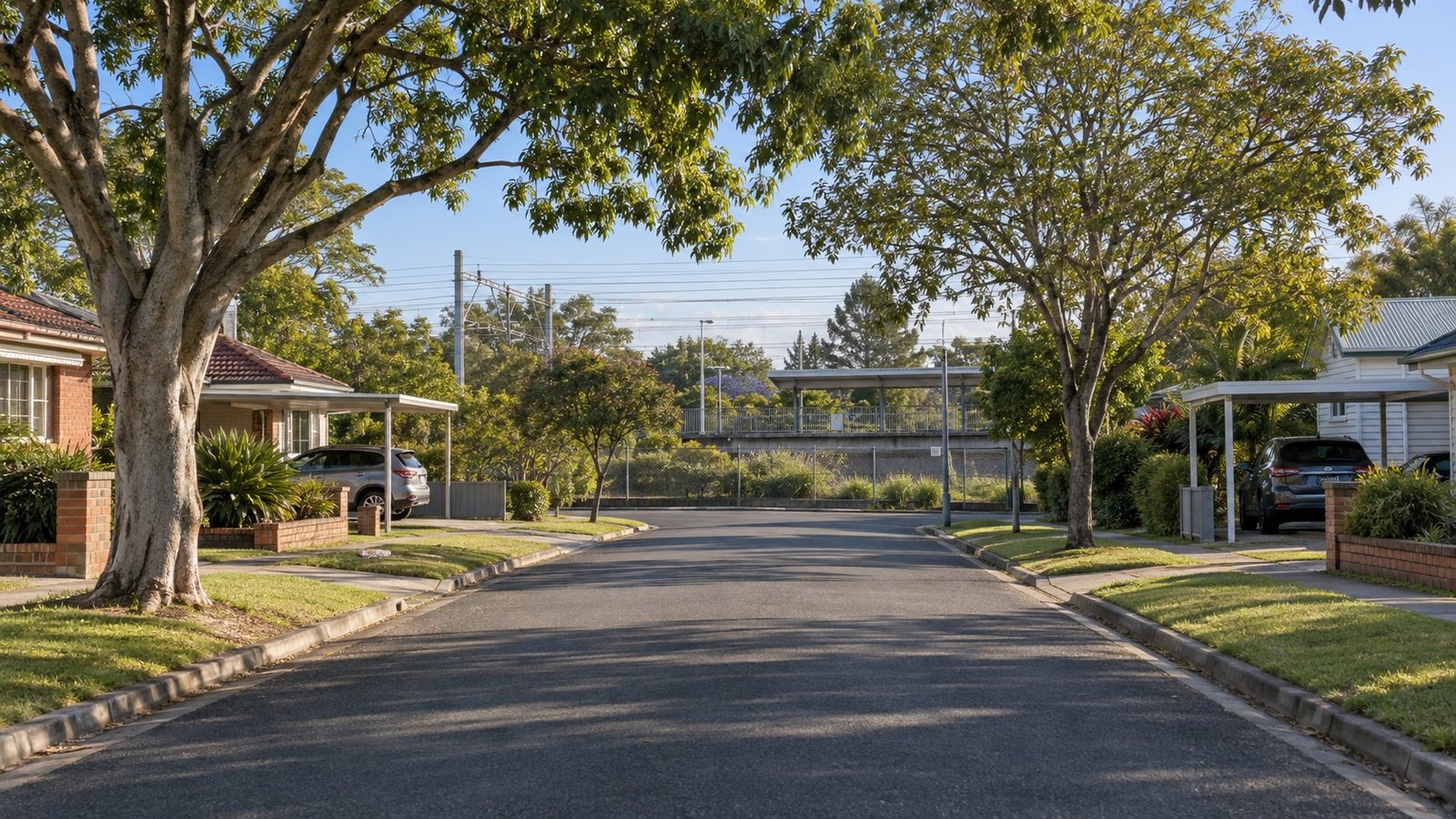
Salisbury sits about 13 kilometres south of the Brisbane CBD, on the Beenleigh railway line corridor, bordered by Moorooka, Rocklea, Nathan and Coopers Plains. It’s a genuine industrial-to-residential transition suburb rather than a prestige or heavily-amenitised one, and this guide covers it honestly on that basis. There’s also a real, current story here worth knowing: Salisbury railway station has just undergone a significant accessibility upgrade, which is one of the more concrete infrastructure developments among Brisbane’s southside suburbs at the moment.
Population and Housing
Salisbury falls under Brisbane City Council’s Moorooka Ward. At the 2021 Census, the suburb recorded a population of 6,790, with a median age of 35 and a notably higher-than-average rate of tertiary education attendance among residents, around 29.5%. Housing is overwhelmingly separate houses, making up around 89% of dwellings, with minimal apartment stock at around 2%. This is consistent with an older, established residential area that has seen some newer infill development over time. Established detached-house streets, including some older Queenslander-era housing, sit alongside light-industrial and bulky-goods land uses near the rail corridor and toward Rocklea and Archerfield, with Toohey Mountain bushland on the suburb’s northeastern edge.
Transport
This is the strongest, most current story for Salisbury. Salisbury railway station, on the Beenleigh line, has undergone a full accessibility rebuild as part of the Cross River Rail Delivery Authority’s rolling southside accessibility program, reopening on 2 March 2026, ahead of its original mid-2026 target. The upgrade includes new accessible entries, a new overpass with lift and stairs linking both platforms, an upgraded ticket office and accessible restroom, bike storage, additional accessible parking, and a brand new third platform built specifically to support a future Cross River Rail and Gold Coast rail link. It’s worth being clear about what this does and doesn’t mean: the local station itself has genuinely been rebuilt and future-proofed, but the wider Cross River Rail tunnel and underground CBD stations program is still under construction and being tested and commissioned at the time of writing, with first passenger services expected in 2029. Salisbury does not yet have through-running Cross River Rail services, only a rebuilt, more accessible local station.
Schools
Salisbury State School is the local public primary school, operating a defined residential catchment with enrolment management, meaning proximity alone doesn’t guarantee a placement. There’s no state high school located within Salisbury itself, and which high school catchment currently applies couldn’t be confirmed from an official source. Rather than guess, always check the official Queensland Government EdMap tool (qgso.qld.gov.au/maps/edmap) directly for your specific address, and remember that being within a catchment area never guarantees enrolment.
Health
There’s no hospital within Salisbury itself. Princess Alexandra Hospital at Woolloongabba (Metro South) is the plausible nearest major public hospital for this corridor.
Shopping and Everyday Life
Salisbury doesn’t have a major shopping centre of its own. Nearby Sunnybank, Coopers Plains and Runcorn, all of which already have full Narevella suburb guides, are the practical shopping destinations for residents.
Parks and Local Life
Toohey Mountain and the Toohey Forest Reserve border Salisbury’s northeastern edge, shared with neighbouring Nathan, Tarragindi and Robertson. It’s a substantial piece of bushland and a genuine local asset for anyone who values access to nature reserves.
Planning and Development
No dedicated neighbourhood plan specific to Salisbury was identified. The suburb appears to sit under Brisbane City Plan 2014’s general base-zone framework, a mix of low-density residential and industrial zoning, rather than a bespoke precinct plan. This is worth stating plainly rather than assuming more detailed zoning provisions exist.
Flood and Property Due Diligence
As with any Brisbane suburb, check the official Flood Awareness Map and FloodWise Property Report (fam.brisbane.qld.gov.au) for an address-specific result, particularly for any property near the rail corridor or industrial-zoned land in Salisbury. No suburb-wide flood status is asserted here, and none should be assumed either way without checking the specific address.
Nearby Suburbs Worth Comparing
Salisbury is often compared with directly adjoining Coopers Plains, which already has a full Narevella guide, as well as Runcorn, Sunnybank, Rocklea, Moorooka and Nathan.
Useful Narevella Reading
Since Salisbury doesn’t have its own established comparison data yet, our Compare Suburbs tool is a good way to weigh it against neighbouring options. Our existing guides to Coopers Plains and Runcorn cover the immediately neighbouring suburbs in more depth, and our Queensland Property Research Checklist is a solid starting point for researching any property in this corridor.
For wider context on the Brisbane City Council area, including nearby suburbs and how they compare, see our Brisbane Area Guide.
This article is general research information only and is not financial or legal advice. Always confirm specific details, including school catchments, flood information and current transport project status, directly with the relevant official sources before making a property decision.



Join The Discussion