
 by
by 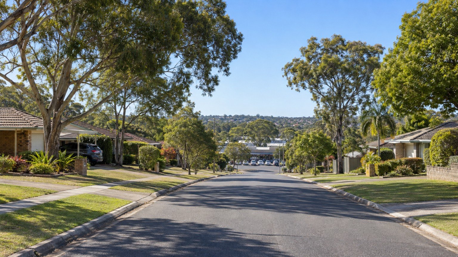
Springwood is a major commercial and retail activity centre for northern Logan, sitting within the Logan City Council local government area and clustered around the intersection of Logan Road and the Pacific Motorway. It is an established, largely detached-housing suburb, but its significant retail and commercial core gives it a character distinct from its residential streets, making it worth understanding both sides of Springwood before deciding whether it suits your buying goals. For buyers weighing up Logan’s established suburbs against its newer growth corridors, Springwood is a useful reference point: its roads, transport interchange and retail base are already built out, a real contrast to the master-planned estates further south that are still being delivered stage by stage.
Housing and Population
2021 Census data (SAL32635) records 9,710 residents in Springwood, with an average household size of 2.5. Based on the suburb’s general character, housing is predominantly established and detached, though buyers should confirm the current dwelling-type mix directly rather than relying on this general impression alone. As with any established suburb, expect a wider spread of build eras and lot sizes than in a single-stage new estate, which can mean more variation in street character from one block to the next.
Transport
Springwood has no railway station of its own, a genuinely useful point to correct, since there is a separate Springwood station in New South Wales’ Blue Mountains that is entirely unrelated and sometimes causes confusion. The suburb’s major transport asset instead is the Springwood busway station, a significant TransLink interchange serving the Southern Region. Buyers who assume rail access should confirm this reality before relying on it for a daily commute, and should test the actual bus-based journey time to their workplace using TransLink’s journey planner rather than assuming it will match a rail-line suburb’s commute.
Schools
Springwood State High School and Springwood Central State School are both established local state schools, and Calvary Christian College, an independent school, also sits within the suburb. Exact Enrolment Management Plan and catchment status for the state schools has not been verified for this guide. Being within a general catchment area does not guarantee enrolment, so always verify the exact catchment for a specific address using the Queensland Government’s EdMap tool before assuming a place at either state school.
Health
There is no hospital within Springwood itself. Logan Hospital, at Meadowbrook, is likely the nearest major public facility, consistent with the pattern seen elsewhere along the Logan corridor. For more on that facility and its expansion, see Narevella’s coverage of the Logan Hospital corridor rather than relying on a restated summary here.
Shopping
Three shopping centres cluster around the Logan Road and Pacific Highway intersection, alongside a public library and the busway interchange. Exact current centre names and ownership have not been verified for this guide, so buyers with a specific centre in mind should confirm current details directly rather than relying on this description. This retail cluster is one of the reasons Springwood functions as a genuine service hub for the wider northern Logan area, rather than a purely residential address.
Parks and Open Space
Detailed park information for Springwood specifically was not compiled for this guide. Daisy Hill Conservation Park sits nearby, but its inclusion within Springwood’s own suburb boundary has not been confirmed, so it should not be assumed to be a Springwood asset without checking the exact boundary.
Planning and Development
No dedicated neighbourhood plan or Priority Development Area was identified for Springwood. This is an honest finding: standard Logan City Plan provisions apply, with nothing major currently active that stands out from the general planning framework. That relative planning stability can itself be a point in the suburb’s favour for buyers who prefer a more settled, less rapidly-changing area over an actively rezoning growth corridor.
Flood Risk and Hazard Research
Logan City Council maintains its own flood-mapping tools, separate from Brisbane City Council’s FloodWise branding. Confirm the exact current tool name and URL directly via logan.qld.gov.au before relying on it, rather than assuming it mirrors the Brisbane approach. As always, check the official council flood tool for the specific address you are considering, never for the suburb as a whole.
Family Considerations
Springwood’s established character, combined with strong local shopping and transport-hub access, suits family upgraders and first-home buyers looking for a genuinely serviced, non-greenfield Logan suburb. The absence of rail access is a genuine trade-off against nearby Beenleigh-line suburbs, and should be weighed honestly against Springwood’s other strengths, particularly its established schools and short trip to a substantial retail cluster.
Buyer Considerations
Confirm Logan City Plan zoning for the specific lot. Check the correct Logan flood-mapping tool for the address. Verify school catchment via EdMap rather than assuming access to Springwood State High School or Springwood Central State School. Note that the activity-centre character around Logan Road and the Pacific Motorway may bring higher traffic or commercial-proximity noise than in a purely residential Logan suburb, so factor that into your assessment of any specific address, and consider walking or driving the street at different times of day before committing.
Springwood Compared to Nearby Suburbs
Springwood is worth comparing with Park Ridge and its transport and commute options, as well as with Rochedale, which sits just across the local government area boundary in Brisbane City Council territory rather than Logan, a useful contrast point for buyers comparing councils as well as suburbs. Each of these three suburbs offers a different balance of established infrastructure, transport access and council jurisdiction, so it is worth reading all three guides side by side rather than treating them as interchangeable.
Practical Research Checklist
- Verify school catchment for Springwood State High School and Springwood Central State School via EdMap.
- Confirm the current Logan flood-mapping tool and check it for the specific address.
- Confirm current shopping-centre names and ownership directly rather than relying on this guide.
- Note the busway-not-rail transport reality before assuming rail access, and test the real commute via TransLink’s journey planner.
This article is general property research information only, and is not financial, legal or valuation advice. Suburb boundaries, school catchments, flood mapping and planning provisions can change, so always verify current details with Logan City Council, the relevant Queensland Government agency or a licensed professional before making a purchasing decision. For general guidance before choosing an area in Logan, see Moving to Logan: What to Research Before Choosing an Area.



Join The Discussion